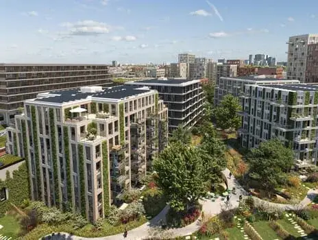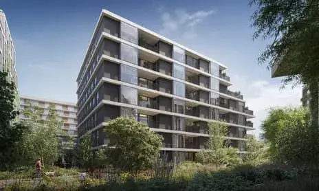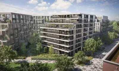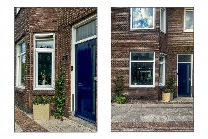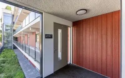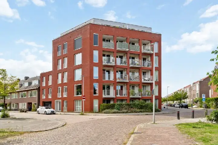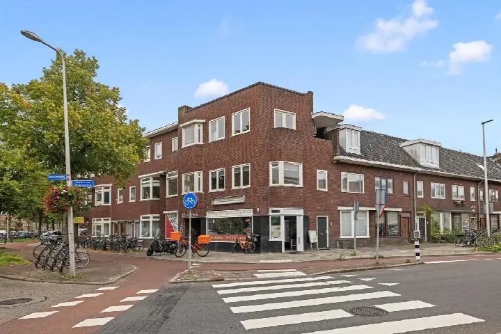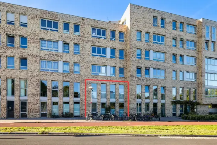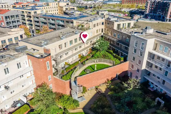
A modern apartment in Utrecht West
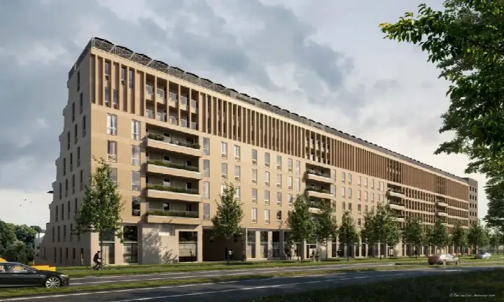
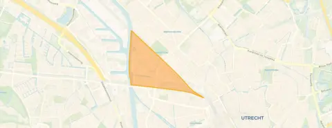
This apartment on Nijverheidsweg 25B-C sits in the Schepenbuurt, Cartesiusweg e.o., a part of Utrecht West that feels lively and practical. The home was built in 2020, so it is a recent addition to the street. The asking price of €635,000 is keen compared with the neighbourhood average asking price of €740,130, a difference of 14 percent. For context, [apartments in Utrecht] are listed across a wide range, and this one comes in below the local norm. The listing does not state the energy label, so that information is missing from the agent's description.
The home itself
The apartment has a living area of 107 square metres according to the BAG registration, which is the basis for the price per square metre of €5,935. The agent has not published details about the layout, such as the number of rooms or bedrooms, nor about any garden, balcony, or garage. The year of construction is 2020, which is a fact about the building's age. Because the listing is incomplete, there is little more to say about the interior or installations.
Life in the Schepenbuurt
Residents of the district West, where this neighbourhood sits, give their surroundings an average score of 7.37, based on eleven reviews. One resident describes the area as "cosy, student-like, park on the doorstep, where people sit when the weather is nice," adding that there is a pub in the neighbourhood and a shopping centre within walking distance. Another resident appreciates "so many nice shops in the area" and mentions walks to the Muntkade and Park Oog en Al. A third resident notes it is "a reasonably quiet neighbourhood" but says there is "absolutely no social contact." The neighbourhood has about 1,875 inhabitants, and most households are single-person, at 48 percent. This is a place where people tend to keep to themselves, according to the reviews. For more on the area, see [the Schepenbuurt, Cartesiusweg e.o. neighbourhood].
Amenities and transport
Daily errands are well covered. The Boni supermarket is just around the corner, and an Albert Heijn is a ten-minute walk away. For primary education, KBS Ludger is a ten-minute walk, and Christelijke Basisschool De Piramide is a couple of streets further. The nearest GP is Gezondheidscentrum De Brug, Huisartsenpraktijk S. Alikhil, about a ten-minute walk, and Apotheek Elinkwijk is just around the corner. Public transport is close: bus stop Utrecht, Station Zuilen, with lines 11, 12, 120 and Flex, is a five-minute walk, and Utrecht Zuilen train station is also a five-minute walk. The municipality of Utrecht offers these connections across the city, and [the municipality of Utrecht] has more on local services. As for address-level risks, these are area-level indications, not an inspection of this specific home. The noise load from road traffic is 51 dB Lden, which is above the norm, and from industry it is 67 dB Lden, also above the norm. Railway noise is 49 dB Lden and aircraft noise 42 dB Lden, both below the norm. The foundation risk indication is low, though 37 percent of properties in this postcode area were built before 1970. Pluvial flooding at heavy rain is medium, current flood risk is elevated, and by 2050 that drops to low. Heat stress is currently low, rising to medium by 2050.
Source
At the time of writing the home is offered only via Zuijdplas & Partners Bedrijfshuisvesting B.V.
This summary was generated with AI and may contain errors. Always verify the details with the provider.
Features
Details of this home
Transfer
Price
Areas and volume
Construction
Frequently asked questions
About Nijverheidsweg 25B-C, Utrecht
What is the asking price for this apartment?
The asking price is €635,000. Compared with the neighbourhood average asking price of €740,130, this is 14 percent lower, which the data describes as keen. The price per square metre, based on the BAG living area of 107 square metres, is €5,935. The neighbourhood average price per square metre is €6,853, so this home sits below that figure as well.
What is the energy label of this apartment?
The agent has not published this field, so there is no official label available for this home. Without it, you cannot know the energy performance from the listing alone. The year of construction is 2020, but that does not determine the label.
What is the WOZ value of this apartment?
The municipal valuation, which is determined on a reference date, is not included in the agent's description. As a result, there is no WOZ figure to compare with the asking price, and no information about how the value has developed over the past five years.
What is the foundation risk for this address?
The foundation risk indication for this address is low, according to area-level data. In this postcode area, 37 percent of properties were built before 1970, and 2 percent of properties in the neighbourhood have an elevated risk of pile rot, based on the Klimaateffectatlas. These are indications at the area level, not an inspection of this specific home.
How noisy is the area around this apartment?
Area-level data shows that road traffic noise is 51 dB Lden, which is above the norm, and industrial noise is 67 dB Lden, also above the norm. Railway noise is 49 dB Lden and aircraft noise is 42 dB Lden, both below the norm. These figures are indications for the address area, not measurements taken at this specific home.
What are the flood risks for this location?
According to area-level climate data, pluvial flooding at heavy rain is medium, and the current flood risk is elevated. By 2050, the flood risk is expected to be low. Heat stress is currently low, but it is expected to become medium by 2050. These are indications for the area, not a prediction for this specific property.
Which supermarkets are near this apartment?
The nearest supermarket is Boni, about 753 metres away, which is a ten-minute walk. An Albert Heijn is 856 metres away, also about a ten-minute walk. Further options include another Boni at 1,218 metres, a PLUS at 1,273 metres, and another Albert Heijn at 1,285 metres. All are within a reasonable walking distance.
Which schools are close to this apartment?
The nearest primary school is KBS Ludger, about 858 metres away, which is a ten-minute walk. Christelijke Basisschool De Piramide is 988 metres away, and Agora Hub030 is 1,007 metres away. Van Asch van Wijckschool is 1,048 metres, and Basisschool Jules Verne is 1,061 metres. All are within about a fifteen-minute walk.
What public transport options are available nearby?
The nearest bus stop is Utrecht, Station Zuilen, about 537 metres away, with lines 11, 12, 120 and Flex. Utrecht, Schepenbuurt stop is 638 metres away with lines 11, 12 and 120, and Utrecht, Sweder van Zuylenweg is 655 metres with line 3. The nearest train station is Utrecht Zuilen, 549 metres away.
What is the neighbourhood like according to residents?
Residents of the district West, where this neighbourhood is located, give an average score of 7.37 based on eleven reviews. One resident calls it "cosy, student-like" with a park on the doorstep, while another appreciates the shops and walks to the Muntkade and Park Oog en Al. A third resident says it is quiet but lacks social contact.
Why are there no property details in this listing?
The listing does not state the energy label. The agent has not published this field, so it is missing from the description. As a result, there is no information about the energy performance of this home. The address itself is complete, so location and neighbourhood data are accurate, but the property details are incomplete.