Zand- en Jaagpad 7
Baambrugge Dorp, De Ronde Venen
 Area
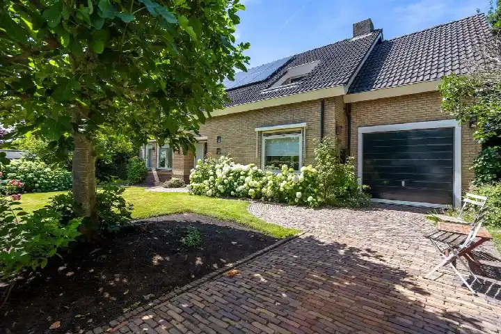
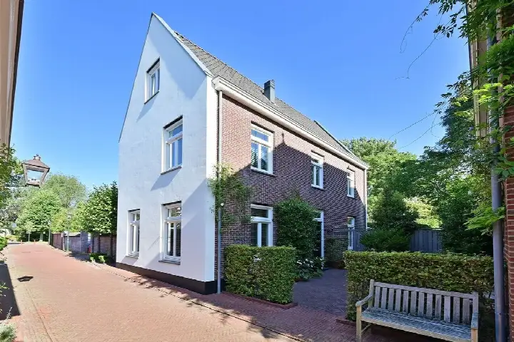
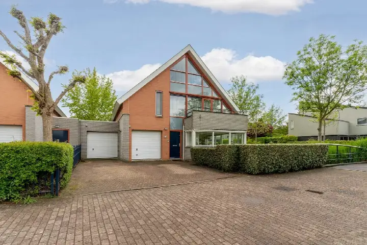
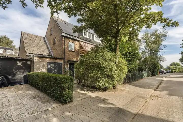
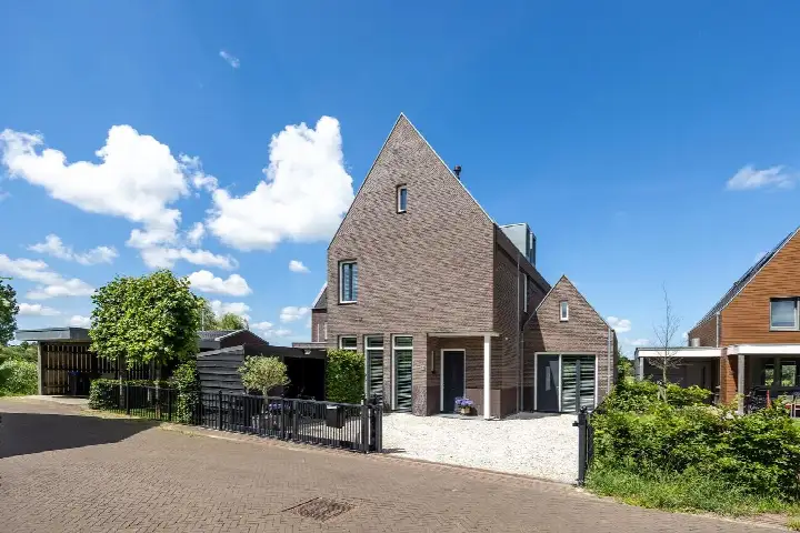
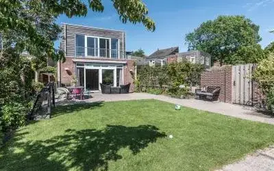
AreaA classic detached home in Baambrugge
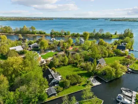
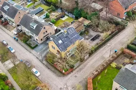
Zand- en Jaagpad 7 sits in Baambrugge Dorp, a village in the municipality of De Ronde Venen where life moves at a gentle pace. With an urbanity level of 5, this is the least urban category, and the address density of 190 confirms a spacious, green setting. The asking price of €1,279,000 works out at €9,838 per m² based on the agent's listing, which is on the high side for the area. For context, detached houses in De Ronde Venen give you a sense of what similar properties fetch here.
The home itself
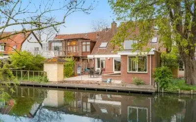
Built in 1930, this detached house spans two floors and offers five rooms, including three bedrooms and one bathroom. The living area is 130 m² according to both the BAG registration and the agent, and the plot measures 316 m² on both counts as well. The total volume comes to 651 m³. The energy label is C, which means moderate energy costs can be expected.
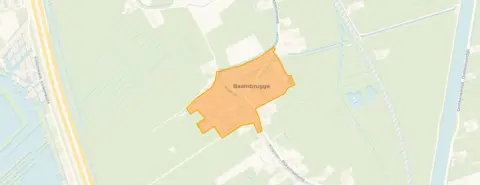
Baambrugge Dorp
Residents across the municipality of De Ronde Venen give their living environment an average score of 7.53, based on nine reviews. One resident says: "The neighbourhood is very quiet and family-friendly, there is also a school nearby and there are many friendly neighbours." Another describes it as a "beautiful neighbourhood, lots of greenery" but notes that traffic often drives much too fast. A third resident mentions "lots of screaming next to me" and calls the neighbours "very antisocial." The village has 1,070 inhabitants, and 93% of the homes are single-family houses. The Baambrugge Dorp neighbourhood is small and close-knit.
Amenities and transport
The GP practice Huisartsenpraktijk Baambrugge is just around the corner, and the nearest primary school, Protestants Christelijke Basisschool Ichthus, is a couple of streets away. For groceries, the Albert Heijn and PLUS are both about three kilometres out, so a short drive or cycle covers the weekly shop. Bus line 120 stops at Baambrugge, Dorp on your doorstep, and the nearest train station is Abcoude, a ten-minute walk further out. The municipality of De Ronde Venen offers a mix of village life and practical connections.
WOZ and address data
No WOZ value is available for this property. The address-level risk data indicates that road traffic noise is above the standard at 49 dB Lden, while railway and aircraft noise stay below their norms. The foundation risk indication is elevated, based on the 1930 construction on clay soil, with 1% of properties in this postcode area showing an elevated risk of pile rot. Pluvial flooding at heavy rain is indicated as elevated, while current flood risk is low. These are area-level indications, not an inspection of this specific home.
Source
At the time of writing the home is offered only via Raad-Huis makelaardij o.z. B.V.
This summary was generated with AI and may contain errors. Always verify the details with the provider.
Features
Details of this home
Transfer
Price
Energy
 Save up to € 400 on your energy billCompare now
Areas and volume
 Insure your home and belongingsGet insured
Layout
Construction
Outdoor space
Frequently asked questions
About Zand- en Jaagpad 7, Baambrugge
What is the asking price for this detached house in Baambrugge?
The asking price is €1,279,000. Based on the agent's listing, that works out at €9,838 per m² of living area. The price is on the high side for the market, but the home is a detached house from 1930 with a plot of 316 m², which is a relatively rare combination in this village.
How many rooms and bedrooms does this home have?
The home has five rooms in total, including three bedrooms and one bathroom, spread over two floors. The living area is 130 m² according to both the BAG registration and the agent, and the plot measures 316 m². The total volume is 651 m³.
What is the energy label and what does it mean?
The energy label is C. This is a mid-range label, so you can expect moderate energy costs for heating and electricity. The home was built in 1930, which is a fact about its age, but the label itself tells you about the energy performance rather than the condition of the construction.
What is the foundation risk for this property?
The foundation risk indication is elevated, based on area-level data. The home was built in 1930 on clay soil, which may mean wooden piles or a shallow foundation. In this postcode area, 1% of properties have an elevated risk of pile rot according to the Klimaateffectatlas. This is an indication at area level, not an inspection of this specific home.
What are the noise levels around this address?
Road traffic noise is measured at 49 dB Lden, which is above the Dutch noise standard. Railway noise is 38 dB Lden and aircraft noise is 48 dB Lden, both below their respective norms. These figures come from the Atlas Leefomgeving and are area-level indications rather than measurements at the property itself.
What amenities are nearby in Baambrugge?
The GP practice Huisartsenpraktijk Baambrugge is just around the corner at 168 metres, and the nearest primary school, Protestants Christelijke Basisschool Ichthus, is 220 metres away. The nearest supermarkets, Albert Heijn and PLUS, are about three kilometres out. Bus line 120 stops at Baambrugge, Dorp, 213 metres away, and the nearest train station is Abcoude at 3.6 kilometres.
What is the neighbourhood of Baambrugge Dorp like?
Baambrugge Dorp has 1,070 inhabitants, and 93% of the homes are single-family houses. Residents across the municipality of De Ronde Venen give their living environment an average score of 7.53 out of 10. One resident describes the area as quiet and family-friendly, while another mentions that traffic often drives too fast. The village has a low urbanity level of 5, meaning it is not urban at all.
How far is the nearest train station?
The nearest train station is Abcoude, at a distance of 3.6 kilometres from the home. That is roughly a ten-minute drive or a longer cycle. Bus line 120 stops at Baambrugge, Dorp, just 213 metres away, which can take you towards the station or other local destinations.
What is the flood risk for this property?
The current flood risk is indicated as low, and it is expected to remain low by 2050. Pluvial flooding at heavy rain is indicated as elevated, which means there is a higher chance of waterlogging during intense rainfall. These are area-level indications from the Klimaateffectatlas, not an assessment of this specific property.