Voorstraat 28
Emmalaan, Alphen aan den Rijn
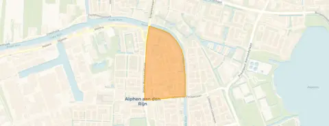 Area
AreaA 1911 terraced house on Voorstraat
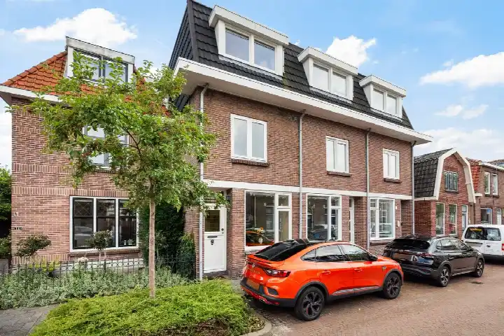
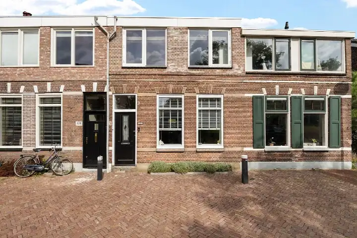
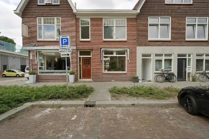
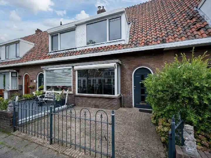
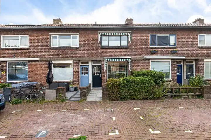
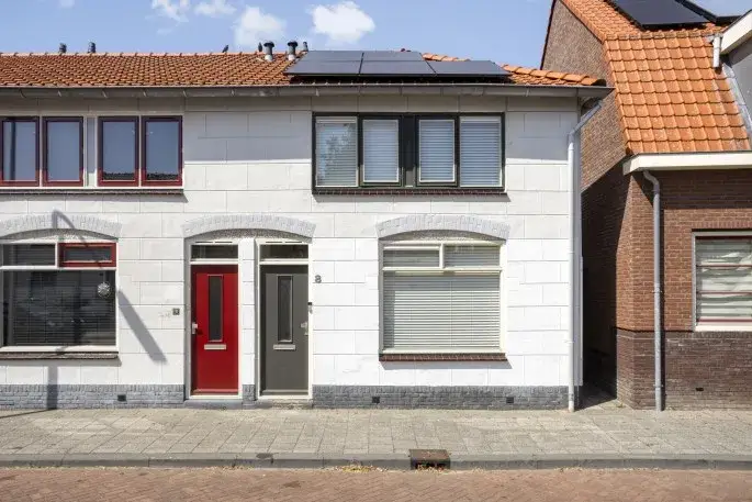
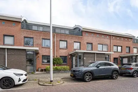
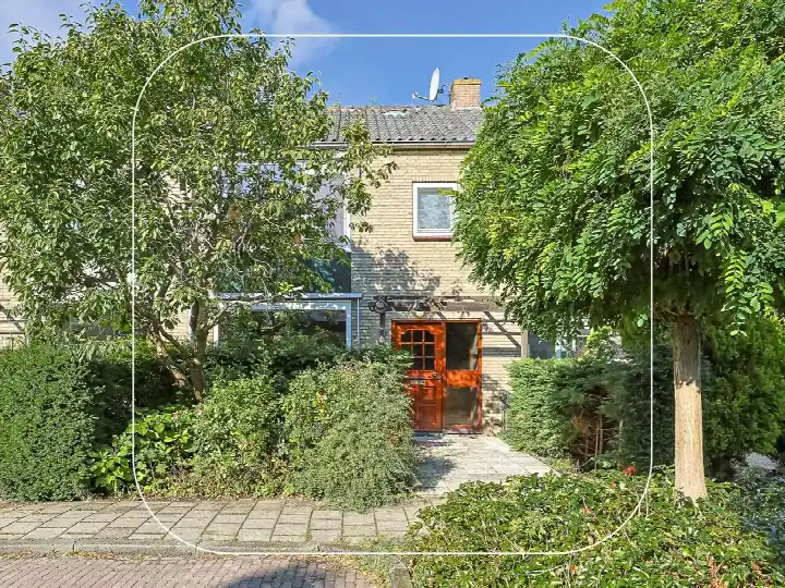
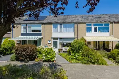
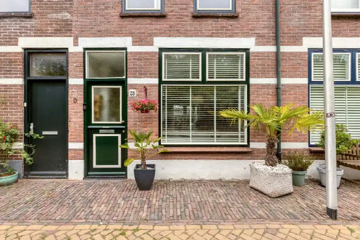
On Voorstraat 28 in Alphen aan den Rijn stands a terraced house from 1911, a home with a long history in the Emmalaan neighbourhood. The asking price of €419,500 is in line with the market, compared against the neighbourhood average asking price of €440,000. The home has an A+++ energy label, an efficient label. For context, the current supply of terraced houses in Alphen aan den Rijn gives a sense of what is available nearby.
Inside the home
According to the agent, the home has three rooms, two bedrooms and one bathroom spread over two floors, with a volume of 278 m³. The living area is listed as 76 m² by the agent, while the BAG registration records 81 m². The plot measures 62 m² in both the agent listing and the BAG registration.
The Emmalaan neighbourhood
Residents across the municipality of Alphen aan den Rijn give their living environment an average score of 7.66, based on fifteen reviews. One resident says: "Green and cosy small neighbourhood. De Bomenbuurt is located near the beautiful Bos Park with tennis courts and a nice petting zoo." Another adds: "I grew up there and have always been satisfied. I would never want to leave and have little to complain about." A third resident describes it as "A cosy backwater", noting "Friendly people, plenty of supermarkets in the area, few shops or nightlife options." The neighbourhood has around 2,680 inhabitants. These reviews describe the wider municipality, not this specific neighbourhood. For a closer look at what the Emmalaan neighbourhood itself is like, the local streets and atmosphere are worth exploring.
Amenities and transport
Daily errands are well covered here. SPAR express is just around the corner, with Albert Heijn, Lidl and Hoogvliet a couple of streets away. Groene Hart Topmavo and Groene Hart Lyceum are both on your doorstep, as is primary school Het Palet. The GP practice Huisartsenpraktijk Gezondheidscentrum Dillenburg and Apotheek De Hoge Zijde are a five-minute walk. Bus stop Alphen a/d Rijn, Stadhoudersplein is just around the corner with lines 101, 147, 169, 183 and 722, and Alphen a/d Rijn station is a ten-minute walk. The wider area falls under the municipality of Alphen aan den Rijn.
WOZ and address data
At the address level, public risk data indicates road traffic noise at 65 dB Lden, above the noise standard, while railway and aircraft noise stay below their standards. The foundation risk indication is elevated, based on the 1911 construction on clay soil, and the groundwater level is expected to drop towards 2050. Pluvial flooding at heavy rain is indicated as elevated, while flood risk is low now and in 2050, and heat stress is low now but medium by 2050. These are area-level indications from public data, not an inspection of this specific home.
Source
At the time of writing the home is offered only via Euro Hypotheken & Advies.
This summary was generated with AI and may contain errors. Always verify the details with the provider.
Features
Details of this home
Transfer
Price
Energy
 Save up to € 400 on your energy billCompare now
Areas and volume
 Insure your home and belongingsGet insured
Layout
Construction
Outdoor space
The WOZ value is set annually by the municipality with 1 January as its reference date, and therefore lags the market by about a year. It is an estimated market value, not a sale price.
Frequently asked questions
About Voorstraat 28, Alphen Aan Den Rijn
What does the asking price of €419,500 mean for this home?
The asking price is in line with the market when compared with the neighbourhood average asking price of €440,000. The price per square metre comes to €5,520, based on the agent's listed living area of 76 m². The neighbourhood average asking price per square metre is €4,081, so this home sits above that figure.
How many rooms does this terraced house have?
According to the agent, the home has three rooms, two bedrooms and one bathroom spread over two floors. The volume is 278 m³. The living area is listed as 76 m² by the agent, while the BAG registration records 81 m². The plot measures 62 m² in both the agent listing and the BAG registration.
What is the energy label of this home?
The home has an A+++ energy label, which is an efficient label. This means energy costs are likely to be relatively low. The home was built in 1911, so the label reflects the current energy performance of the property as registered.
What do residents say about living in this area?
Residents across the municipality of Alphen aan den Rijn give their living environment an average score of 7.66, based on fifteen reviews. One resident mentions the green surroundings and the nearby Bos Park, while another says they would never want to leave. A third notes friendly people and plenty of supermarkets, but few shops or nightlife options. These reviews describe the wider municipality, not this specific neighbourhood.
What are the noise levels like at this address?
Public risk data at the address level indicates road traffic noise at 65 dB Lden, which is above the noise standard. Railway noise is 22 dB Lden and aircraft noise is 41 dB Lden, both below their respective standards. These are area-level indications from public data, not measurements taken at this specific home.
What is the foundation risk for this property?
The foundation risk indication is elevated, based on the home being built in 1911 on clay soil, which may mean wooden piles or a shallow foundation. The groundwater level is expected to drop towards 2050, which can increase the risk for wooden foundations. This is an area-level indication from public data, not an inspection of this specific home.
What supermarkets are near this home?
SPAR express is about 580 metres away, just around the corner. Albert Heijn is at 662 metres, and Lidl and Hoogvliet are both at 717 metres, a couple of streets away. Ekoplaza is at 768 metres. There are 16 supermarkets within a five-kilometre radius.
How is public transport from this address?
Bus stop Alphen a/d Rijn, Stadhoudersplein is about 194 metres away, just around the corner, with lines 101, 147, 169, 183 and 722. Two other stops are within 500 metres. Alphen a/d Rijn train station is about 1.1 kilometres away, a ten-minute walk.
What schools are close to this home?
Groene Hart Topmavo is about 127 metres away and Groene Hart Lyceum about 171 metres, both secondary schools on your doorstep. Primary school Het Palet is at 235 metres, and Protestants Christelijke Basisschool Groen van Prinsterer at 255 metres. There are 46 schools within a five-kilometre radius.
What is the flood risk at this address?
Public risk data indicates that pluvial flooding at heavy rain is elevated, while flood risk from rivers or the sea is low both now and in 2050. Heat stress is low currently but medium by 2050. These are area-level indications from public data, not an assessment of this specific home.