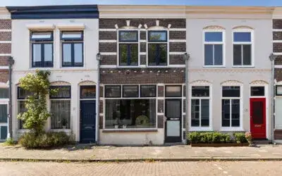
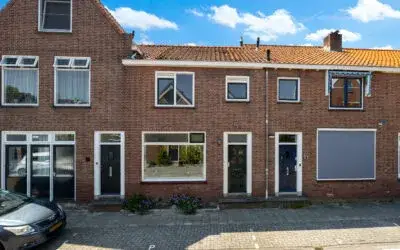
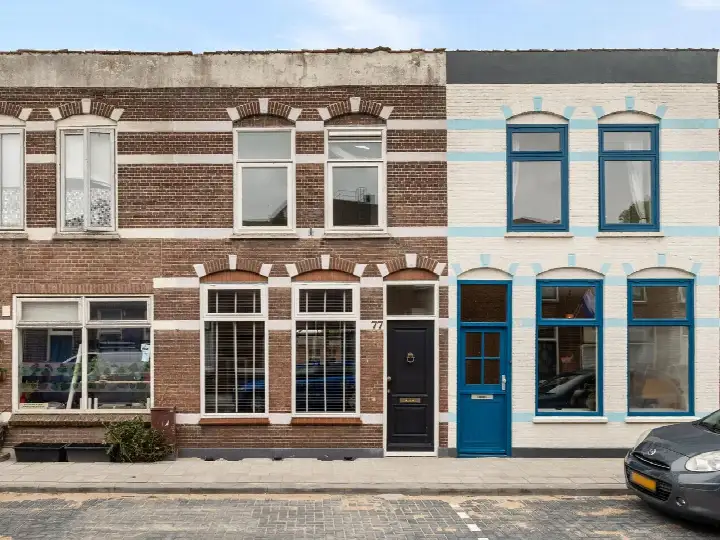
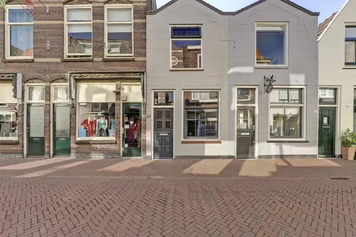
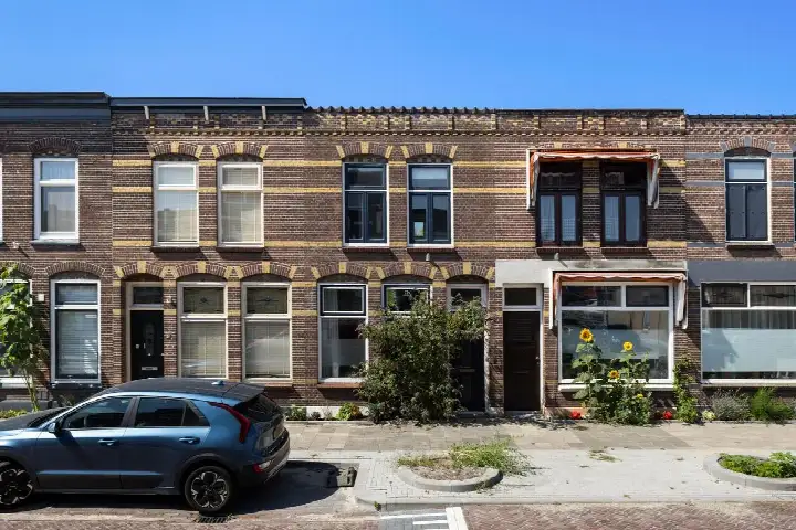
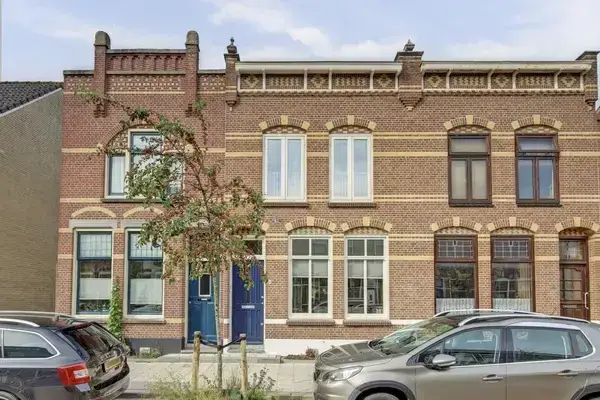
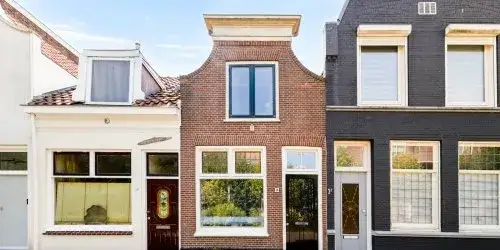
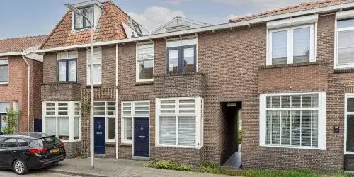
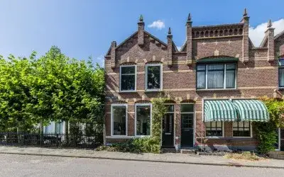
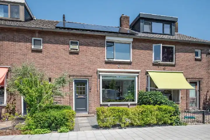
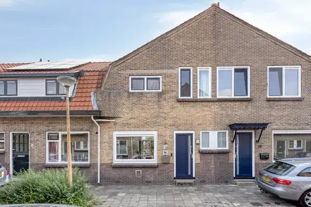
Tweede kade 5
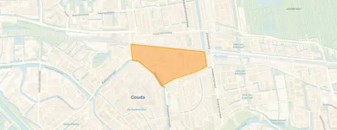
Kadenbuurt, Gouda
 Area
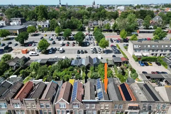
AreaA 1930s terraced house in the heart of Gouda
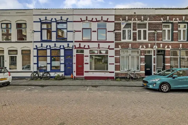
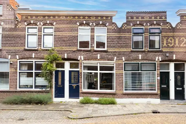
This 1932 terraced house sits on the Tweede kade in the Kadenbuurt, a part of Gouda where the streets have a distinctly historic feel. With its three floors and 94 square metres of living space, it is a compact but well-proportioned home. The asking price of €350,000 works out at €3,723 per square metre, which is on the high side compared with the average for terraced houses in Gouda.
Inside the home
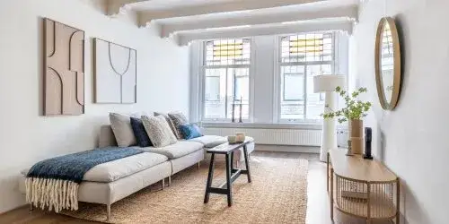
The agent describes the property as a four-room house with three bedrooms and one bathroom spread over three floors. The total volume is 313 cubic metres. The energy label is E, which means you can expect higher energy costs than with a more efficient label. The home was built in 1932, a fact that tells you about its age but says nothing about its condition.
The Kadenbuurt
Residents of the wider district give their living environment an average score of 7.13, based on four reviews. One resident says: "The neighbourhood is safe, social and is growing towards a better environment and in terms of facilities." Another notes: "Beautiful neighbourhood, all amenities around the corner. Loitering youths and hygiene need to be addressed by the municipality." A third adds: "Little greenery, often a lot of rubbish. But there are good small businesses and supermarkets in the neighbourhood." The district is home to around 2,625 people, and most homes are owner-occupied. For a closer look at the area, see the Kadenbuurt neighbourhood.
Amenities and transport
The Coop supermarket is just around the corner, with an Albert Heijn a five-minute walk away. The Prinses Julianaschool and Casimirschool are both a couple of streets away. The nearest GP is Therapeuticum Calendula, Huisartsen, and Apotheek Neumann is the closest pharmacy. Bus stop Gouda, Centrum is on your doorstep with lines 3, 106, 196, 307, 497 and 996, and Gouda train station is a ten-minute walk. All of this sits within the municipality of Gouda.
WOZ and address data
Public risk data at address level indicates an elevated foundation risk for this area, which is built on peat soil. This is an area-level indication, not an inspection of this specific home. The noise from road traffic, rail and aircraft is all below the relevant standards. Pluvial flooding at heavy rain is indicated as medium, as is the current flood risk and the flood risk towards 2050.
Source
At the time of writing the home is offered only via Van 't Hof Makelaardij B.V.
This summary was generated with AI and may contain errors. Always verify the details with the provider.
Features
Details of this home
Transfer
Price
Energy
 Save up to € 400 on your energy billCompare now
Areas and volume
 Insure your home and belongingsGet insured
Layout
Construction
Outdoor space
The WOZ value is set annually by the municipality with 1 January as its reference date, and therefore lags the market by about a year. It is an estimated market value, not a sale price.
Frequently asked questions
About Tweede kade 5, Gouda
What is the asking price for this terraced house?
The asking price is €350,000. With a living area of 94 square metres, that comes to €3,723 per square metre. In the Kadenbuurt, the average asking price for homes currently for sale is €402,780, with a median of €385,000. The average price per square metre in the neighbourhood is €4,500.
How many rooms and bedrooms does this home have?
According to the agent, the home has four rooms in total, including three bedrooms and one bathroom. The living space is spread over three floors, with a total volume of 313 cubic metres. The floor area is 94 square metres according to both the BAG registration and the agent's listing.
What is the energy label and what does it mean?
The energy label is E. This is not the most efficient label, so you can expect higher energy costs than with a home that has a better label. The label says nothing about the structural condition of the home itself. The year of construction is 1932.
What is the foundation risk for this address?
Public risk data at address level indicates an elevated foundation risk for this area. The home was built in 1932 on peat soil, and in this postcode area 83% of properties were built before 1970. This is an area-level indication based on public data, not an inspection of this specific home.
What are the flood and climate risks for this area?
The area-level indication for pluvial flooding at heavy rain is medium. The current flood risk is also medium, as is the flood risk towards 2050. Heat stress is indicated as medium for both the current situation and 2050. These are indications at area level from public data sources, not an assessment of this particular property.
Which supermarkets are nearby?
The Coop supermarket is just around the corner at 370 metres. An Albert Heijn is a five-minute walk away at 508 metres, and there is a SPAR express at 653 metres. A full-size SPAR is at 680 metres, with another Coop at 975 metres. In total there are 23 supermarkets within five kilometres.
Which schools are close to this home?
The Prinses Julianaschool and the Casimirschool are both a couple of streets away, at 380 and 395 metres respectively. Auris Taalplein, a special education school, is at 535 metres. The Graaf Jan van Nassauschool is at 566 metres, and the r.k. basisschool St. Aloysius is at 626 metres.
What public transport options are available?
Bus stop Gouda, Centrum is on your doorstep at 234 metres, with lines 3, 106, 196, 307, 497 and 996. Gouda, Doelenbrug is at 500 metres with lines 3, 106, 196, 307 and 996. Gouda train station is a ten-minute walk away at 818 metres.
How do residents rate the area?
Residents of the wider district give their living environment an average score of 7.13, based on four reviews. One resident says the neighbourhood is safe and social, while another mentions a beautiful neighbourhood with all amenities around the corner. A third notes there is little greenery and often a lot of rubbish.
What is the noise situation at this address?
The noise from road traffic is 43 dB Lden, which is not above the noise standard. Rail noise is 42 dB Lden, also below the standard, and aircraft noise is 36 dB Lden, again not above the standard. These figures are from the reference years 2022 and 2023.