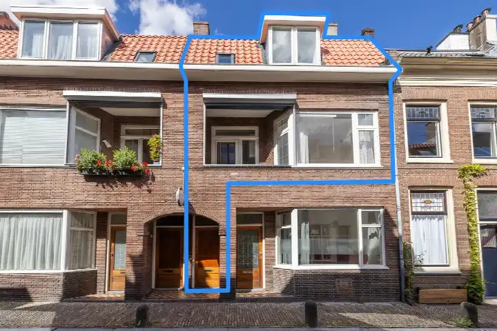
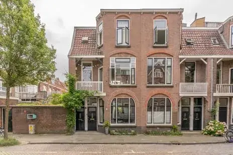
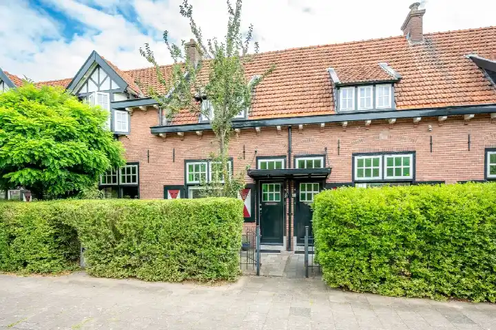
Lepelaarstraat 31BS
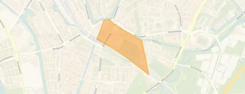
Watervogelbuurt, Utrecht
 Area
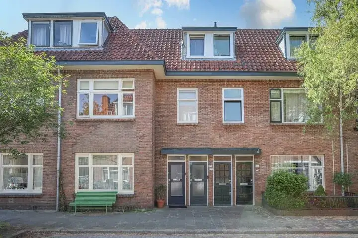
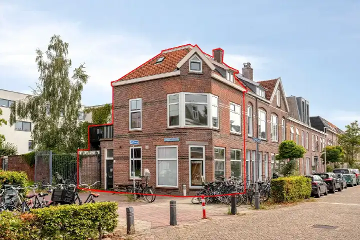
AreaA pre-war apartment in Utrecht's Oost
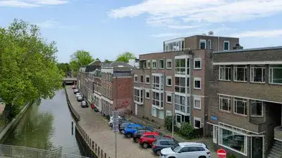
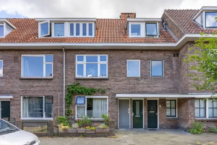
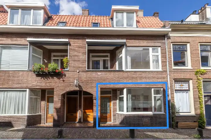
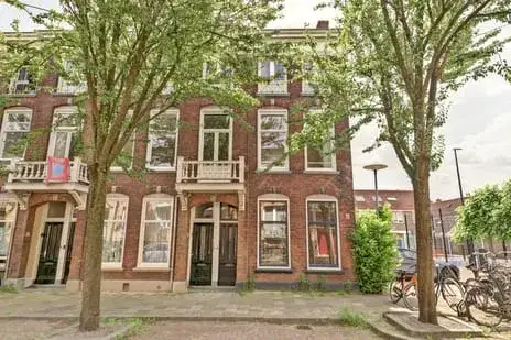
This apartment sits on the Lepelaarstraat in the Watervogelbuurt, a quiet residential street in Utrecht's Oost district. The area is lively and diverse, with a mix of housing styles and a strong sense of community. At €500,000, the asking price is in line with the average for apartments in Utrecht, though it sits above the median for the neighbourhood.
Inside the home
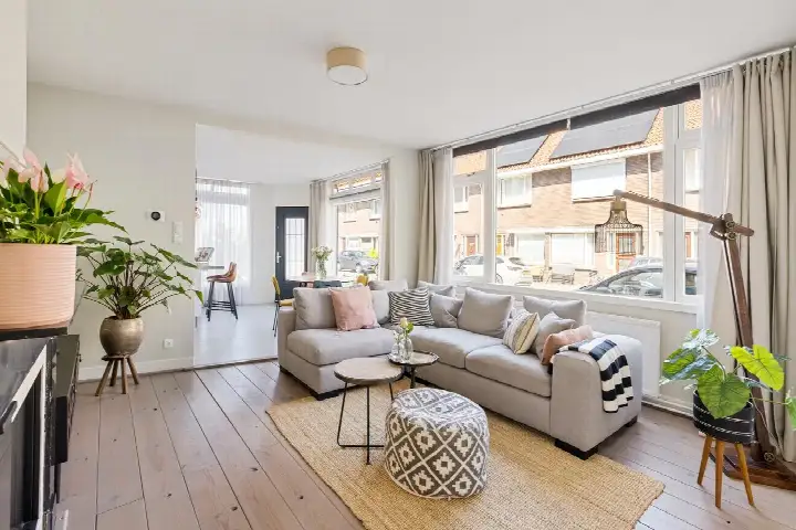
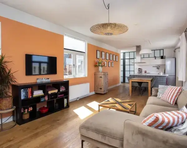
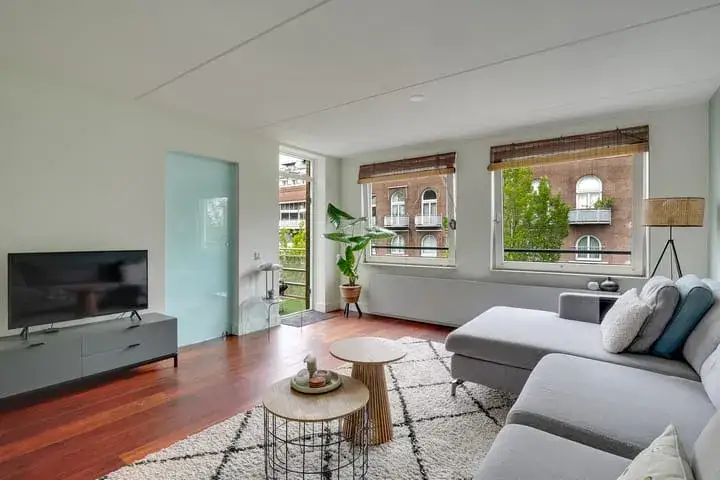
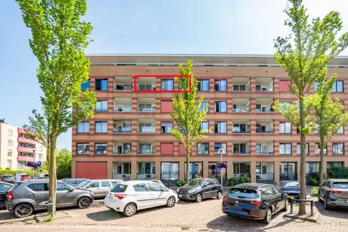
Built in 1931, this apartment spans two floors and includes six rooms, four bedrooms and one bathroom. The agent lists the living area at 91 m², while the BAG registration records 80 m². The home has draught sealing and secondary glazing, and is heated by a central heating boiler. It is offered as full ownership, with a monthly HOA fee of €127.
Life in the Watervogelbuurt
Residents of the wider Oost district give their area an average score of 7.6, based on eleven reviews. One resident describes it as a peaceful neighbourhood with an active community, good schools and attractive green spaces like Wilhelminapark. Another notes that while it is a good place to live, there is room for improvement in cleanliness, parking and safety. A third resident highlights the many parks and walking paths nearby, and the variety of houses, though they add that buying a home here is difficult due to the costs. The neighbourhood itself is home to around 2,300 people, many of them living alone. For a closer look at the area, see the Watervogelbuurt neighbourhood.
Amenities and getting around
The Coop supermarket is just around the corner, with Jumbo and Lidl a couple of streets away. The Agatha Snellenschool primary school is a ten-minute walk, and the Kromme Rijn College is nearby. The nearest GP is Huisartsenpraktijk De Greev, and Apotheek Boswijk is the closest pharmacy. Tram and bus stops at Station Vaartsche Rijn are on your doorstep, with lines 8, 9, 20, 21, 29, 47, N4 and 341. The train station Utrecht Vaartsche Rijn is also just around the corner, and the Diakonessenhuis hospital is a ten-minute walk. All of this sits within the municipality of Utrecht.
WOZ and address data
The WOZ value is not stated in the available data. According to public risk data at the address level, the noise from road traffic is 48 dB Lden, which is below the norm, while railway noise is 59 dB Lden, above the norm. The foundation risk indication is medium, as the building dates from before 1970. Pluvial flooding at heavy rain is elevated, as is the current flood risk, though the flood risk for 2050 is low. Heat stress is currently low, rising to medium by 2050. These are area-level indications, not an inspection of this specific home.
Source and agent
At the time of writing, the home is offered via two channels, including Kusters & Siereveld Makelaars.
This summary was generated with AI and may contain errors. Always verify the details with the provider.
Features
Details of this home
Transfer
Price
Energy
 Save up to € 400 on your energy billCompare now
Areas and volume
 Insure your home and belongingsGet insured
Layout
Construction
The WOZ value is set annually by the municipality with 1 January as its reference date, and therefore lags the market by about a year. It is an estimated market value, not a sale price.
Frequently asked questions
About Lepelaarstraat 31BS, Utrecht
What is the asking price for this apartment?
The asking price is €500,000. The average asking price for homes in the Watervogelbuurt is €499,737, with a median of €450,000. The price per square metre, based on the agent's listed living area of 91 m², is €5,495.
How many rooms and bedrooms does this apartment have?
According to the agent, the apartment has six rooms, including four bedrooms and one bathroom, spread over two floors. The total volume is 301 m³. The agent lists the living area at 91 m², while the BAG registration records 80 m².
What is the energy label of this home?
The energy label is C. This means the home is neither the most nor the least efficient, and you can expect moderate energy costs. The agent notes that the home has draught sealing and secondary glazing, which can help with comfort.
What is the WOZ value of this property?
The WOZ value is not stated in the available data. The WOZ is the municipal valuation used for tax purposes, and it is not part of the listing information provided here.
What are the noise levels around this address?
Public data indicates that road traffic noise is 48 dB Lden, which is below the norm. Railway noise is 59 dB Lden, which is above the norm. These are area-level indications based on public data, not a measurement taken at the property itself.
What is the foundation risk for this home?
The foundation risk indication is medium. This is because the building was constructed before 1970, and the area is noted as a KCAF attention zone. These are area-level indications from public data, not an inspection of this specific property.
What supermarkets are near this apartment?
The Coop supermarket is just around the corner at about 285 metres. Jumbo is a couple of streets away at 453 metres, and Lidl is at 582 metres. There are also two Albert Heijn stores within about 700 metres.
Which schools are close to this home?
The Agatha Snellenschool primary school is about 548 metres away, and KBS Gertrudis is at 652 metres. For secondary education, the Utrechts Stedelijk Gymnasium is at 676 metres. The Kromme Rijn College, a special secondary school, is at 563 metres.
How is the public transport connection from this address?
The tram and bus stop at Station Vaartsche Rijn is about 216 metres away, with lines 8, 9, 20, 21, 29, 47, N4 and 341. The nearest train station, Utrecht Vaartsche Rijn, is at 201 metres. Bus stops at Sterrenwijk and Tolsteegplantsoen are also within about 300 metres.
What is the neighbourhood like according to residents?
Residents of the wider Oost district give their area an average score of 7.6 out of 10, based on eleven reviews. One resident calls it peaceful with an active community and good schools, while another mentions it is cosy with many parks nearby. A third notes there is room for improvement in cleanliness and parking.
What is the flood risk for this area?
Public data indicates that pluvial flooding at heavy rain is elevated, and the current flood risk is also elevated. The flood risk for 2050 is low. These are area-level indications from public data, not an assessment of this specific property.