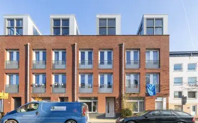





Tolsteegplantsoen 3
Tolsteeg en Rotsoord · 3523 AA Utrecht

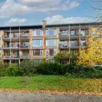
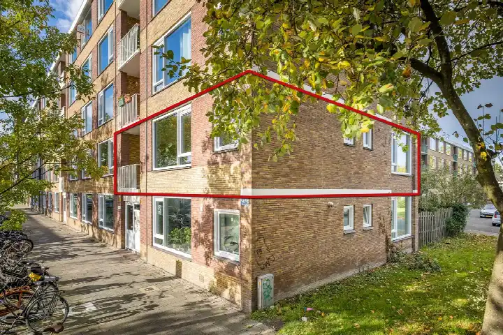
A first floor flat in Tolsteeg en Rotsoord
This apartment sits on the Tolsteegplantsoen, a street that runs alongside a park in the Tolsteeg en Rotsoord area of Utrecht. It is a lively part of the city, with the old centre a short walk away and the Vaartsche Rijn station just around the corner. The last known asking price of €375,000 was the lowest of the nine homes at the time for sale in this neighbourhood, and it sat 16% below the average asking price of €445,000. That made it a sharp price for this part of Utrecht, especially when you compare it with the [apartments in Utrecht] as a whole. This home has not been online since 27 October 2026.
Inside the apartment
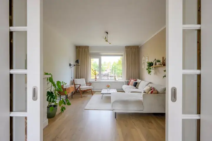
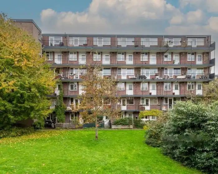
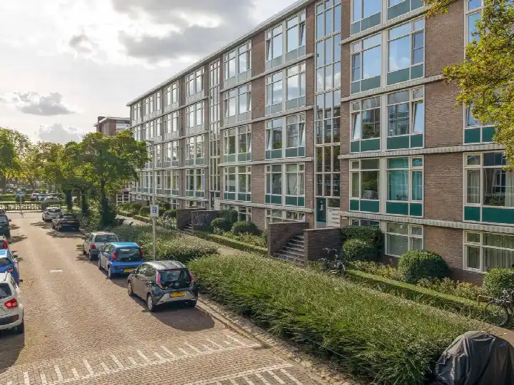
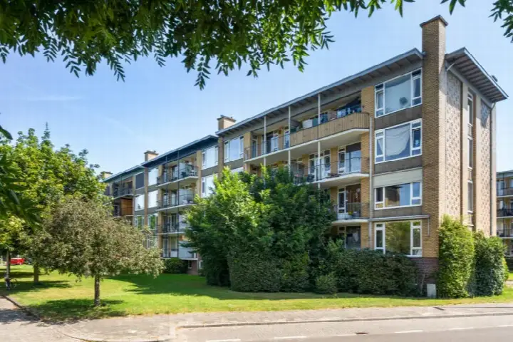
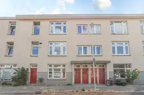
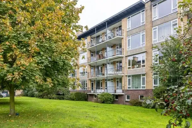
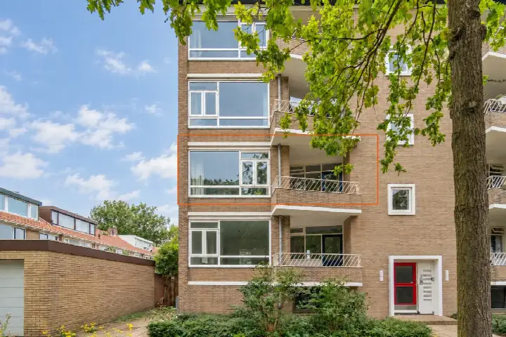
Built in 1957, this portiekflat is on the first floor and has three rooms, two bedrooms and one bathroom. The agent listed the living area at 61 m², while the BAG registration records 70 m². There was a balcony, a combi boiler for heating, and the home was offered as full ownership. The monthly homeowners' association contribution was €118. The flat is situated along a busy road, next to a park, and has an unobstructed view.
Life in Tolsteeg en Rotsoord
Tolsteeg en Rotsoord is a compact neighbourhood on the southern edge of the city centre, where the old canal district meets a former industrial area that has been redeveloped. It is a mixed area, with a large student population and a growing number of young families. Residents of the wider district give it an average score of 7.67, based on twenty reviews. One resident describes the area as social, child-friendly and green, noting that there is little traffic on the streets and that many homes are built around shared green spaces. Another says it is a nice neighbourhood where everything is within reach and everyone is friendly. The neighbourhood has 4,235 inhabitants, and a large share of them live alone. For a sense of what it is like to live here, [the Tolsteeg en Rotsoord neighbourhood] page has more detail.
Amenities and transport
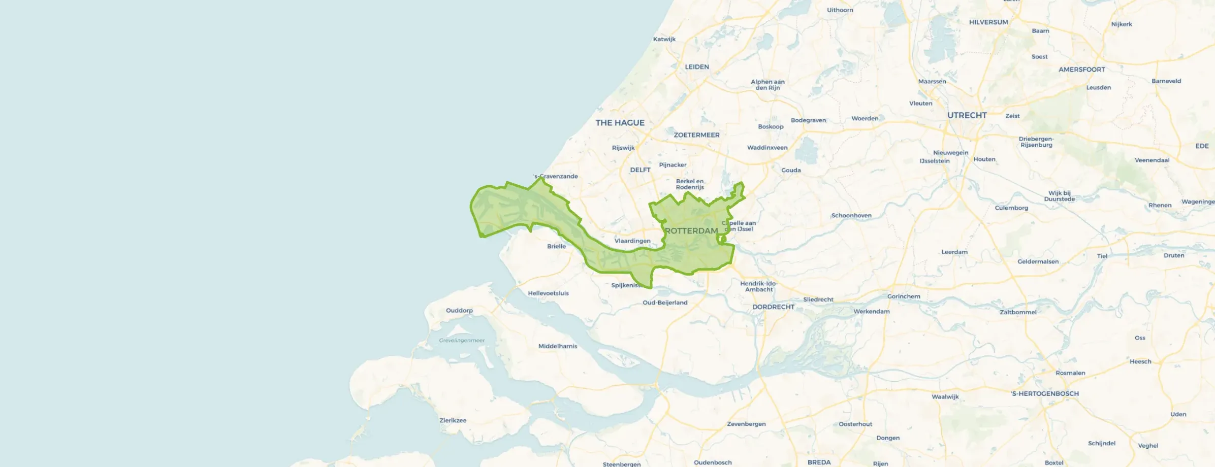
The daily essentials are close by. The Coop supermarket is on your doorstep, with the Lidl a couple of streets away and a PLUS and an Albert Heijn within a ten-minute walk. For primary education, KBS Gertrudis is a couple of streets away, and Auris Rotsoord is also nearby. The GP practice Huisartsenpraktijk De Greev is a five-minute walk, and Apotheek Buijs is just beyond that. Bus line 8 stops at Tolsteegplantsoen on your doorstep, and the tram and bus stop at Station Vaartsche Rijn is just around the corner, with lines 8, 9, 20, 21, 29, 47, N4 and 341. Utrecht Vaartsche Rijn train station is also just around the corner. The municipality of Utrecht is a large one, and [the municipality of Utrecht] page gives an overview of the wider area. The address does carry some risk indications from public data, which are area-level indications rather than an inspection of this specific home. The noise level from road traffic is 61 dB Lden, which is above the standard, while railway noise is 55 dB Lden, which is not above the standard. The foundation risk indication is medium, as the building dates from before 1970. For climate, the indication for pluvial flooding at heavy rain is elevated, as is the current flood risk, while the flood risk for 2050 is low. Heat stress is currently low, rising to medium by 2050.
Source and agent
When this home was still on the market, it was offered via two channels, including Covers Wonen Makelaars & Taxateurs and their listing on Funda.
This summary was generated with AI and may contain errors. Always verify the details with the provider.
Features
Details of this home
Transfer
Price

Areas and volume
 Insure your home and belongingsGet insured
Layout
Construction
Outdoor space
The WOZ value is set annually by the municipality with 1 January as its reference date, and therefore lags the market by about a year. It is an estimated market value, not a sale price.
Frequently asked questions
About Tolsteegplantsoen 3, Utrecht
How did the asking price compare with other homes in the neighbourhood?
The asking price of €375,000 was the lowest of the nine homes at the time for sale in Tolsteeg en Rotsoord. It sat 16% below the average asking price of €445,000 for the neighbourhood. The average price per square metre in the neighbourhood was €5,830, while this home was listed at €6,148 per square metre based on the agent's floor area of 61 m².
What is the layout of this apartment?
This is a first-floor portiekflat with three rooms, two bedrooms and one bathroom. The agent listed the living area at 61 m², while the BAG registration records 70 m². There was a balcony, and the home was offered as full ownership. The monthly homeowners' association contribution was €118.
What was the energy label and what did it mean for costs?
The home has energy label C. The home is heated by a combi boiler. The label does not say anything about the condition of the building itself, only about its energy performance.
What is the WOZ value of this home?
The WOZ value is the municipal valuation used for property taxes, and it is not the same as the market value. Without this figure, it was not possible to compare the asking price with the official valuation.
What are the noise levels like at this address?
Public data indicates that the noise level from road traffic at this address is 61 dB Lden, which is above the standard. Railway noise is 55 dB Lden, which is not above the standard. These are area-level indications based on public data, not a measurement taken at this specific home.
What is the foundation risk for this home?
The foundation risk indication for this address is medium. This is because the building dates from 1957, before 1970, and the entire postcode area falls within a KCAF attention area where all buildings were constructed before 1970. This is an area-level indication from public data, not an inspection of this specific home.
What are the flood and climate risks at this address?
Public climate data indicates that the risk of pluvial flooding at heavy rain is elevated, and the current flood risk is also elevated. The flood risk for 2050 is low. Heat stress is currently low, rising to medium by 2050. These are area-level indications from the Klimaateffectatlas, not an assessment of this specific property.
Which supermarkets are nearby?
The Coop supermarket is on your doorstep at about 290 metres. The Lidl is about 400 metres away, and a PLUS and an Albert Heijn are both within about 550 metres. There are 64 supermarkets within five kilometres of this address, so you have plenty of choice for daily groceries.
What schools are close to this home?
KBS Gertrudis, a primary school, is about 460 metres away, and Auris Rotsoord, a special education school, is about 440 metres away. De Wereldwijzer primary school is about 690 metres away. For secondary education, the nearest option is about 1.3 kilometres away.
How is the public transport connection from this address?
Bus line 8 stops at Tolsteegplantsoen on your doorstep. The tram and bus stop at Station Vaartsche Rijn is about 175 metres away, with lines 8, 9, 20, 21, 29, 47, N4 and 341. Utrecht Vaartsche Rijn train station is about 190 metres away, giving you direct access to the national rail network.
What is the neighbourhood like according to residents?
Residents of the wider district give it an average score of 7.67, based on twenty reviews. One resident describes the area as social, child-friendly and green, with little traffic on the streets and many homes built around shared green spaces. Another says it is a nice neighbourhood where everything is within reach and everyone is friendly.
Why was the living area different between the BAG and the agent?
The BAG registration records a living area of 70 m², while the agent listed 61 m². The difference was not explained in the listing. Both figures are stated here so you can see the two sources side by side. The price per square metre of €6,148 was based on the agent's figure of 61 m².