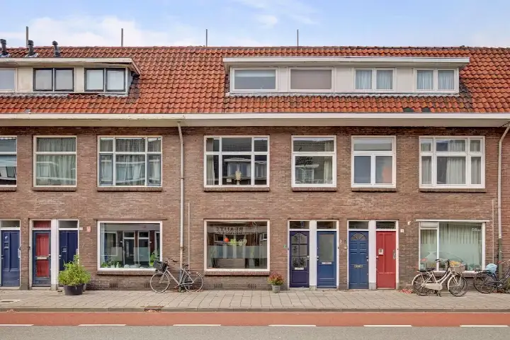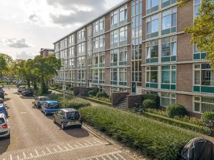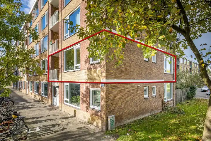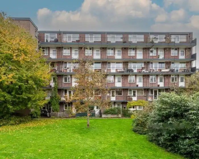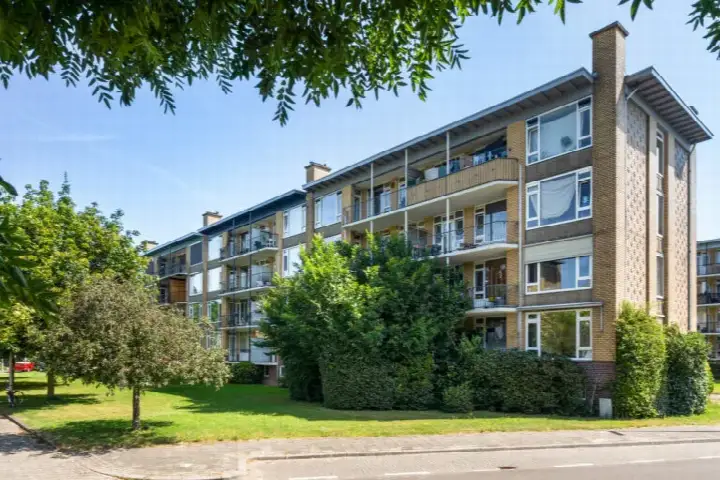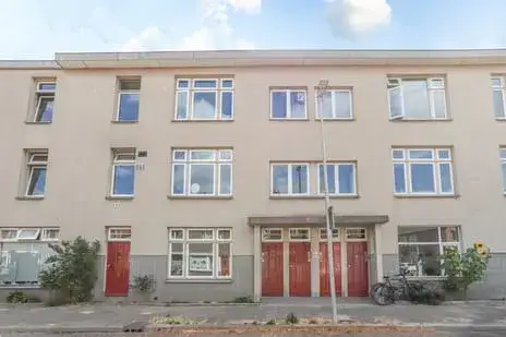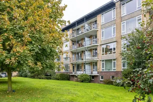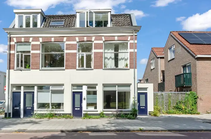





A 1957 apartment in Utrecht's Tolsteeg en Rotsoord
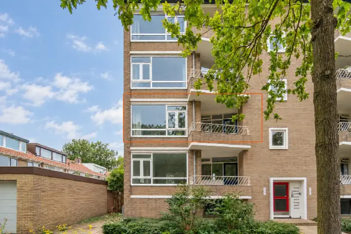
This apartment on Tolsteegplantsoen sits in the Tolsteeg en Rotsoord neighbourhood, part of the Zuid district in Utrecht. Built in 1957, it's a home with a story, and the asking price of €385,000 is in line with the market, based on the neighbourhood average asking price of €400,208. The living area is 70 m² according to the BAG registration, which works out at €5,500 per m². For a sense of what's on offer, you can compare with other apartments in Utrecht.
The home itself
This listing doesn't state the energy label, so that detail is missing. The home is an apartment from 1957, and that's about all the agent shares on the property itself. No layout, no outdoor space, no installations are mentioned. It's a sparse listing, so the focus here is on the location and what the neighbourhood brings.
Tolsteeg en Rotsoord
Tolsteeg en Rotsoord is a neighbourhood with a mix of old and new, and the residents give it a solid 7.67 out of 10 on average, based on 20 reviews from the wider district. One resident describes the area as "social, child-friendly and green," noting that "there is little traffic on the streets" and that "many houses are situated around a shared green space with some play facilities." Another says it's a "nice neighbourhood, everything within reach. Everyone friendly." The district has a village-like feel, partly because it's separated from the city by a park and forts that are part of UNESCO heritage. With 4,220 residents, it's a lively place, and 54% of them are between 25 and 45. For more on what this area is like, have a look at the Tolsteeg en Rotsoord neighbourhood.
Amenities and transport
Day-to-day life here is convenient. The Coop is just around the corner, with Lidl a couple of streets away, and Albert Heijn, PLUS, and Jumbo all within a ten-minute walk. For schools, Auris Rotsoord and KBS Gertrudis are both a couple of streets away, and there are more primary options nearby. The GP, Huisartsenpraktijk De Greev, is a couple of streets away, and Apotheek Buijs is a five-minute walk. Public transport is close: the bus stop Utrecht, Tolsteegplantsoen is on your doorstep with lines 8, 47, and N4, and the tram stop Utrecht, Station Vaartsche Rijn is just around the corner with lines 8, 9, 20, 21, 29, 47, N4, and 341. The train station Utrecht Vaartsche Rijn is also just around the corner. All of this is part of the municipality of Utrecht.
WOZ and address data
There's no WOZ value available for this home, so that's not part of the picture. As for the address, the public risk data gives some indications at area level, not a specific inspection of this property. Road traffic noise is measured at 62 dB Lden, which is above the norm, while railway noise is 55 dB Lden, which is not above the norm. The foundation risk indication is medium, and this is flagged because the building dates from before 1970, with 100% of properties in this postcode area built before that year. For climate, pluvial flooding at heavy rain is elevated, as is the current flood risk, though the flood risk for 2050 is low. Heat stress is low now, but medium by 2050.
Source
At the time of writing, the home is offered only via Ludenhoff makelaars & taxateurs o.g. Amstelveen.
This summary was generated with AI and may contain errors. Always verify the details with the provider.
Features
Details of this home
Transfer
Price
Areas and volume
Construction
The WOZ value is set annually by the municipality with 1 January as its reference date, and therefore lags the market by about a year. It is an estimated market value, not a sale price.
Frequently asked questions
About Tolsteegplantsoen 5-2, Utrecht
What is the asking price for this apartment?
The asking price is €385,000. According to the neighbourhood housing market data, the average asking price in Tolsteeg en Rotsoord is €400,208, and the median is €395,000. The price per square metre, based on the BAG living area of 70 m², is €5,500. The price verdict is that it's in line with the market, which is based on a comparison with the neighbourhood average asking price.
What is known about the layout of this apartment?
The listing does not provide details on the number of rooms, bedrooms, or bathrooms. The only property information given is that it's an apartment built in 1957. The living area is 70 m² according to the BAG registration. No information is stated about a garden, balcony, or garage.
Is there a WOZ value for this home?
The WOZ value is the municipal valuation, but it's not provided here. As a result, there's no comparison with the asking price or information on how the value has developed over the past five years. This information is simply not available for this property.
What are the noise levels around this address?
According to public risk data at address level, road traffic noise is measured at 62 dB Lden, which is above the norm. Railway noise is 55 dB Lden, which is not above the norm. These are area-level indications, not a specific measurement for this home. The data comes from sources like Atlas Leefomgeving and is based on the surrounding area.
What is the foundation risk for this property?
The foundation risk indication is medium. This is based on the fact that the building was constructed before 1970, specifically in 1957, and that 100% of properties in this postcode area were built before 1970. This is an area-level indication from KCAF, not an inspection of this specific home. It's a general signal for the area, not a diagnosis of this property.
What are the flood and climate risks for this address?
The climate risk data shows that pluvial flooding at heavy rain is elevated, and the current flood risk is also elevated. However, the flood risk for 2050 is low. Heat stress is currently low, but it's expected to be medium by 2050. These are area-level indications from the Klimaateffectatlas, not specific to this home, and they describe the general situation for the location.
Which supermarkets are near this apartment?
The nearest supermarket is Coop, which is about 281 metres away, so just around the corner. Lidl is about 412 metres away, and Albert Heijn, PLUS, and Jumbo are all within about 546 to 590 metres. That means you have several options for groceries within a short walk, making daily shopping convenient.
What schools are close to this home?
There are several schools within walking distance. Auris Rotsoord, a special education school, is about 451 metres away. KBS Gertrudis, a primary school, is about 464 metres away. De Wereldwijzer and Agatha Snellenschool are also nearby, at about 695 and 706 metres respectively. For secondary education, Kromme Rijn College is about 749 metres away.
How is the public transport in this area?
Public transport is very accessible. The bus stop Utrecht, Tolsteegplantsoen is about 113 metres away, with lines 8, 47, and N4. The tram stop Utrecht, Station Vaartsche Rijn is about 164 metres away, serving lines 8, 9, 20, 21, 29, 47, N4, and 341. The train station Utrecht Vaartsche Rijn is about 181 metres away, so you have bus, tram, and train options close by.
What do residents say about the Tolsteeg en Rotsoord area?
Residents of the district, which includes Tolsteeg en Rotsoord, give an average score of 7.67 out of 10, based on 20 reviews. One resident describes the area as "social, child-friendly and green," noting that there's little traffic and that homes are often around shared green spaces. Another says it's a "nice neighbourhood, everything within reach. Everyone friendly." These reviews reflect the wider district, not just this specific neighbourhood.
Why are there no property details in this listing?
The listing does not state the energy label, and it also lacks details on rooms, outdoor space, and installations. The agent has not published these fields. The address itself is complete, so location and neighbourhood data are accurate, but the property-specific information is limited to the year of construction and the living area.