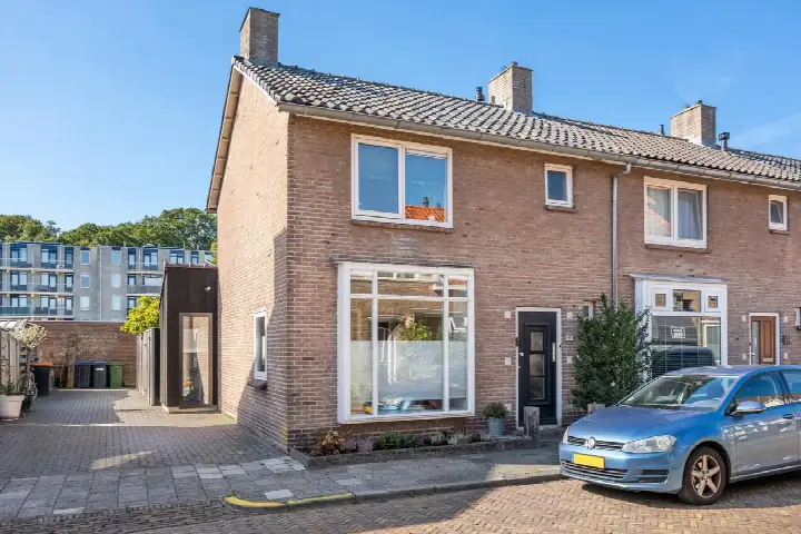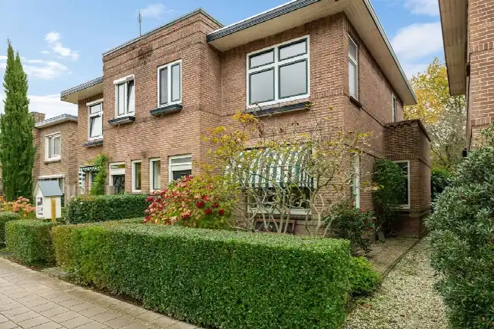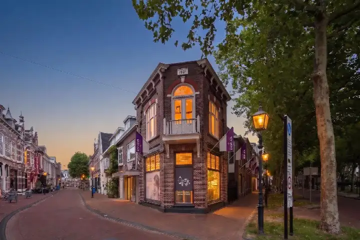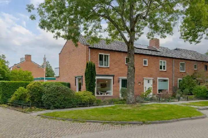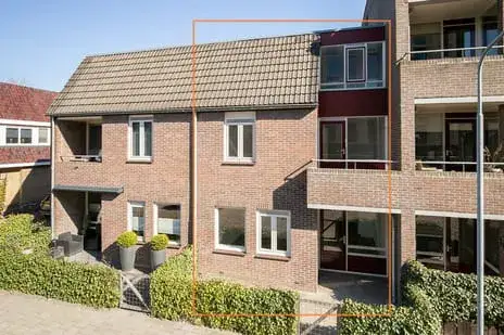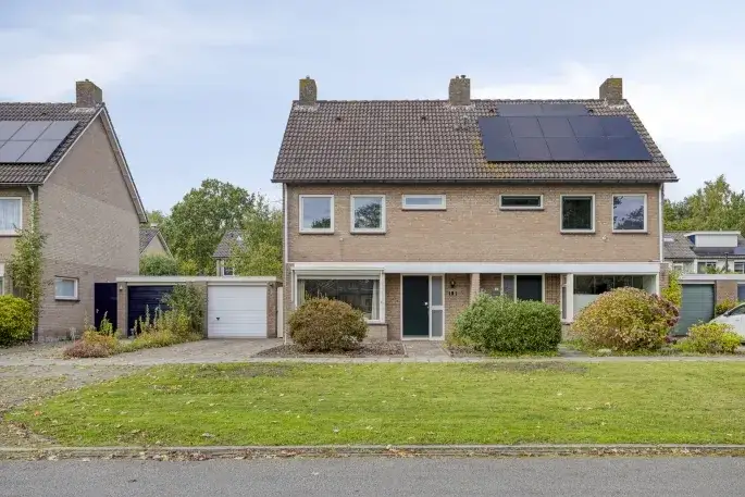





A 1938 end-of-terrace house in De Hertenkamp
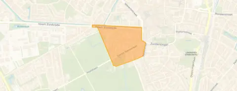
This end-of-terrace house sits in De Hertenkamp, a neighbourhood in the centre of Assen. The home was built in 1938 and carries an energy label C. With a living area of 141 m², it is 37% larger than the neighbourhood average of 103 m². The asking price of €435,000 works out at €3,085 per m² based on the BAG registration. That puts the price on the high side compared with the average of €4,330 per m² for the three homes currently for sale in the neighbourhood, though the average is skewed by a top price of €595,000. For context, end-of-terrace houses in Assen give a sense of what similar homes go for across the municipality.
The home itself
This listing does not state the number of rooms, bedrooms or bathrooms, nor does it mention a garden, balcony or garage. The agent gives no details on insulation, heating or ownership either. What is known is the year of construction, 1938, and the energy label C. The plot measures 170 m² according to the BAG registration. Because the listing is incomplete, there is little more to say about the interior or outdoor space.
Life in De Hertenkamp
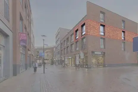
De Hertenkamp is a compact neighbourhood with around 600 residents, and the average household size is 1.9 people. Residents of the municipality of Assen give their living environment an average score of 7.67, based on 15 reviews. One resident says: "I generally feel quite safe, except when you go to the Anne Frank park after 8pm. The atmosphere there is usually grim." Another describes the area as "cosy but can be noisy in the evening in the adjacent park, but overall it's always fine." A third resident finds it "boring", noting that "there's nothing in this neighbourhood" and that they have to go to other districts for activities. The neighbourhood recorded 40 crimes in the most recent figures. The De Hertenkamp neighbourhood page has more detail on what it is like to live here.
Amenities and transport
Daily errands are easy from this address. The Ekoplaza is on your doorstep, with the SPAR just around the corner and the Dirk a couple of streets away. Kindcentrum Emmaschool is just around the corner, and Kindcentrum Theo Thijssen is a ten-minute walk. The nearest GP is Huisartsenpraktijk Overcingel, a couple of streets away, and the Alphega Apotheek Karsten pharmacy is on your doorstep. The Wilhelmina Ziekenhuis hospital is a ten-minute walk. Bus stop Assen, Kerkplein is on your doorstep with lines 7, 8, 20 and 428, and Assen railway station is a ten-minute walk. The municipality of Assen page covers the wider area.
WOZ value and address data
The WOZ value on 1 January 2025 was €358,000. The asking price is 22% above that WOZ value. Between 2020 and 2025 the WOZ value rose by 66%, from €216,000 to €358,000. As for the address data, the noise level from road traffic is 54 dB Lden, which is above the noise standard, while rail noise at 29 dB Lden and aircraft noise at 18 dB Lden are both below the standard. The foundation risk indication is low, based on the sandy soil and the pre-1970 construction year. Pluvial flooding at heavy rain is medium, while the current flood risk is low and the 2050 flood risk is also low. Heat stress is currently low but is expected to be medium by 2050. These are area-level indications from public data, not an inspection of this specific home.
Source
At the time of writing the home is offered only via Lamberink.
This summary was generated with AI and may contain errors. Always verify the details with the provider.
Features
Details of this home
Transfer
Price
Energy
 Save up to € 400 on your energy billCompare now
Areas and volume
Layout
Construction
Outdoor space
The WOZ value is set annually by the municipality with 1 January as its reference date, and therefore lags the market by about a year. It is an estimated market value, not a sale price.
Frequently asked questions
About Gymnasiumstraat 4A, Assen
How does the asking price compare with the WOZ value?
The asking price of €435,000 is 22% above the WOZ value of €358,000, which was set on 1 January 2025. The WOZ value is the municipal valuation for tax purposes, not the current market value. The gap between the asking price and the WOZ value is a fact about this listing, and what it means for the eventual sale price is for the market to decide.
What is the living area of this home?
According to the BAG registration, the living area is 141 m², which is 37% larger than the neighbourhood average of 103 m². The plot measures 170 m². The price per m², based on the BAG living area, is €3,085. The listing does not state the number of rooms, bedrooms or bathrooms.
What is the energy label and what does it mean for costs?
The home has energy label C. This label sits in the middle of the scale, so energy costs will be moderate compared with the most efficient labels, but lower than the least efficient ones. The listing does not mention insulation, heating installation or glazing, so there is no further detail on the energy performance of this specific home.
What is the foundation risk for this address?
The foundation risk indication for this address is low. This is based on the sandy soil type and the fact that the home was built before 1970, in 1938. This is an area-level indication from public data, not an inspection of this specific home. The listing itself gives no information about the condition of the foundation.
What are the noise levels around this address?
The road traffic noise level is 54 dB Lden, which is above the Dutch noise standard. Rail noise is 29 dB Lden and aircraft noise is 18 dB Lden, both below the standard. These figures come from public data at address level and are indications for the area, not measurements taken at this specific home.
What is the flood risk for this property?
The current flood risk is low, and the flood risk for 2050 is also low. Pluvial flooding, which happens when heavy rain overwhelms the drainage system, is rated medium. Heat stress is currently low but is expected to be medium by 2050. These are area-level indications from the Klimaateffectatlas, not an assessment of this specific home.
Which supermarkets are near this home?
The Ekoplaza is the nearest supermarket, at 178 metres. The SPAR is 470 metres away, the Dirk is 602 metres, the AH XL is 641 metres and the Jumbo is 992 metres. In total there are 17 supermarkets within 5 km of this address, so there is plenty of choice for daily groceries.
Which schools are close by?
Kindcentrum Emmaschool, a primary school with 305 pupils, is 177 metres away. Kindcentrum Theo Thijssen, also primary education, is 654 metres away. For secondary education, Gomarus College Assen is 997 metres away. There are 40 schools within 5 km of this address.
How is the public transport from this address?
Bus stop Assen, Kerkplein is 89 metres away and serves lines 7, 8, 20 and 428. The Weiersstraat stop is 258 metres away with lines 7 and 8. Assen railway station is 827 metres away, which is about a ten-minute walk. The listing does not state any destinations or travel times for these services.
What do residents say about living in this area?
Residents of the municipality of Assen give their living environment an average score of 7.67, based on 15 reviews. One resident says the area is cosy but can be noisy in the evening in the adjacent park. Another says they feel quite safe, except in the Anne Frank park after 8pm. A third finds it boring and says they have to go to other districts for activities. These reviews describe the wider municipality, not specifically De Hertenkamp.
Why are there no property details in this listing?
The listing does not state the number of rooms, bedrooms or bathrooms, nor does it mention a garden, balcony or garage. There is also no information about insulation, heating or ownership. The only property facts given are the year of construction, 1938, the energy label C, and the living area of 141 m² from the BAG registration.