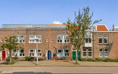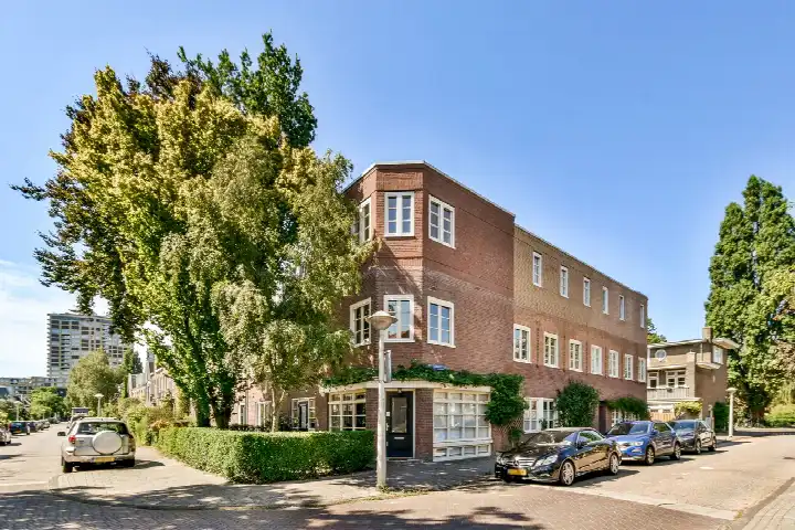





A pre-war apartment in De Wetbuurt
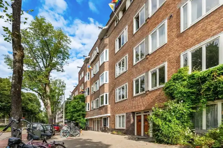
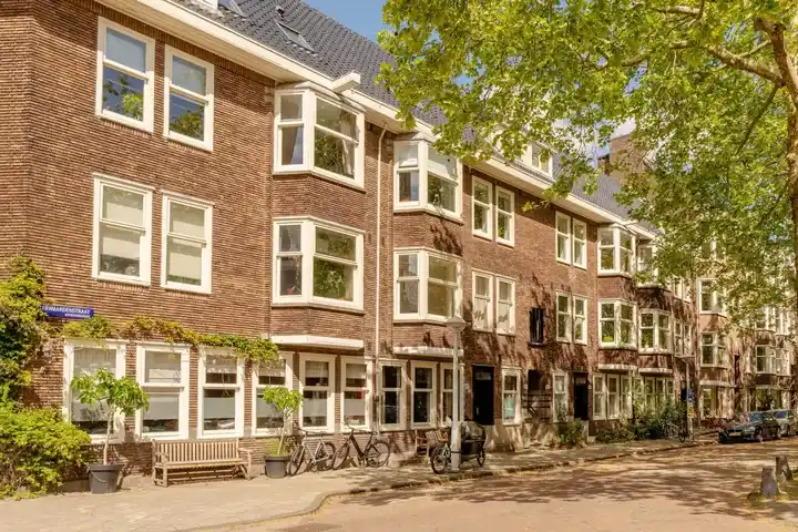
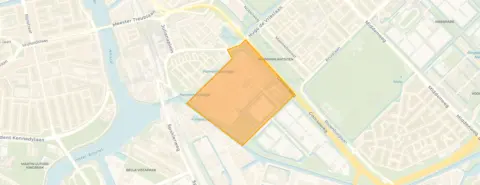
Tucked into the leafy eastern edge of Amsterdam, this apartment on Celsiusstraat 7 sits in De Wetbuurt, a pocket of the Frankendael district that feels a world away from the city's hustle. The area is quiet, with a park just around the corner and a real sense of community among the residents. Built in 1912, the home carried the character of its era, and with a last known asking price of €1,195,000, it was on the high side compared to the neighbourhood average. For context, that price sat 56% above the average asking price of €764,700 in the area, a figure worth weighing against the home's size. If you were looking at apartments in Amsterdam, this one stood out for its price per square metre. This home has not been online since 1 November 2026.
The home itself
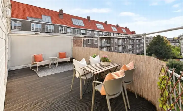
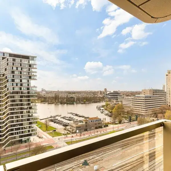
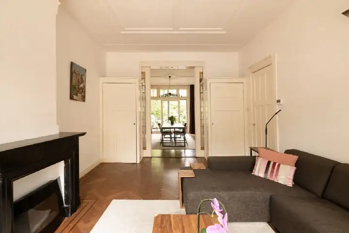
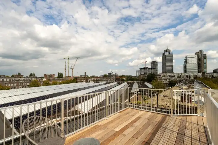
According to the BAG registration, the living area is 49 m², which is 42% smaller than the neighbourhood average of 84 m². The energy label was D, so expect moderate energy costs. The listing did not state the number of rooms, bedrooms, or bathrooms, nor did it mention any garden, balcony, or garage. The year of construction, 1912, was a fact of the building's history, but the listing gave no further details about the interior layout or installations.
Life in De Wetbuurt
Residents of the wider district give their living environment an average score of 8.59, based on three reviews. One resident says: "Nice neighbours, we know each other, too bad there's no supermarket in the neighbourhood." Another adds: "Quiet neighbourhood with lots of kids and rich yuppies." The district is home to about 1,815 people, with a mix of ages and household types. The neighbourhood itself has a strong pre-war character, with nearly 89% of homes built before 1945. For a closer look at what the De Wetbuurt neighbourhood has to offer, the data paints a picture of a settled, family-oriented area.
Amenities and transport
Daily errands are manageable from here. The nearest pharmacy, Apotheek Amstelkwartier Amsterdam, is just around the corner, while the GP practice, Huisartsen Duivendrecht, is a bit further out. For groceries, the AH to go is a five-minute walk away, with Vomar and Lidl a ten-minute walk. Schools are within reach too, including Montessorischool de Amstel for primary education and Daltonschool Spinoza20first for secondary. Public transport is well served: the Spaklerweg metro stop is a five-minute walk with lines 51, 53, 54, 78, and N85, and Amsterdam Amstel train station is a ten-minute walk. All of this sits within the municipality of Amsterdam. The address-level risk data indicates a medium foundation risk, based on the area's peat soil and the fact that the building dates from 1912. This is an area-level indication, not an inspection of this specific home. Noise from road, rail, and air traffic is below the relevant standards, and the climate data shows an elevated risk of pluvial flooding during heavy rain, with a medium flood risk currently and by 2050. Heat stress is currently low but could become medium by 2050. These are all area-level indications from public data sources.
Source
When this home was still on the market, it was offered only via Keij & Stefels B.V.
This summary was generated with AI and may contain errors. Always verify the details with the provider.
Features
Details of this home
Transfer
Price


Construction
Frequently asked questions
About Celsiusstraat 7, Amsterdam
What was the asking price for this apartment?
The asking price was €1,195,000. According to the precomputed comparison, this was 56% above the neighbourhood average asking price of €764,700, placing it on the high side. The price per square metre, based on the BAG living area of 49 m², was €24,388. Homes in this area sell on average within 21 days.
How large is the apartment and what is the layout?
The living area is 49 m² according to the BAG registration. The listing did not state the number of rooms, bedrooms, or bathrooms, nor did it mention any outdoor space such as a garden or balcony. The property was built in 1912 and has an energy label D.
What was the energy label and what did it mean for costs?
The energy label is D. The label does not say anything about the condition of the building itself, only about its energy performance. In the neighbourhood, most of the current sales listings had a better energy label than D.
What is the foundation risk for this address?
The address-level risk data indicates a medium foundation risk. This is based on the area's peat soil and the fact that the building was constructed in 1912. It is an area-level indication from public data sources, not an inspection of this specific home. The risk level is stated as medium, without further detail.
What are the nearest amenities and public transport options?
The nearest pharmacy is Apotheek Amstelkwartier Amsterdam, about 400 metres away. The GP practice, Huisartsen Duivendrecht, is 1.7 km away. For groceries, the AH to go is 568 metres away, with Vomar and Lidl at about 990 metres. The Spaklerweg metro stop is 335 metres away with lines 51, 53, 54, 78, and N85, and Amsterdam Amstel train station is 639 metres away.
What is the neighbourhood like according to residents?
Residents of the wider district give their living environment an average score of 8.59, based on three reviews. One resident says: "Nice neighbours, we know each other, too bad there's no supermarket in the neighbourhood." Another describes it as a "quiet neighbourhood with lots of kids and rich yuppies." The district has about 1,815 inhabitants.
How did the price per square metre compare to the neighbourhood?
The price per square metre was €24,388, based on the BAG living area of 49 m². This was 151% above the neighbourhood average price per square metre of €9,706. The asking price itself was 56% above the neighbourhood average asking price of €764,700, which was why the price verdict was on the high side.
What is the flood risk for this area?
The climate data indicates an elevated risk of pluvial flooding during heavy rain, with a medium flood risk currently and by 2050. Heat stress is currently low but could become medium by 2050. These are area-level indications from the Klimaateffectatlas, not an assessment of this specific property.