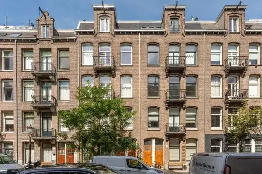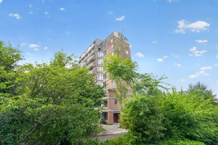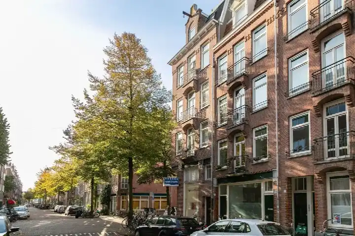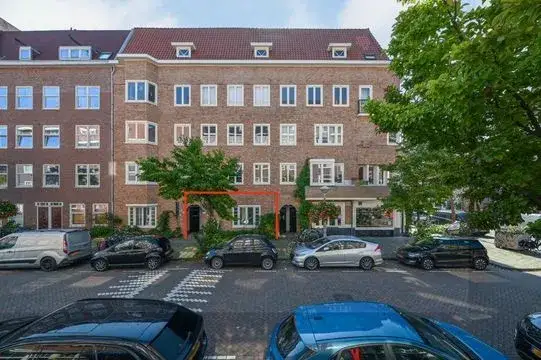





Stolwijkstraat 23-1
Aalsmeerwegbuurt-West · 1059 XS Amsterdam

A 1929 apartment in Aalsmeerwegbuurt-West
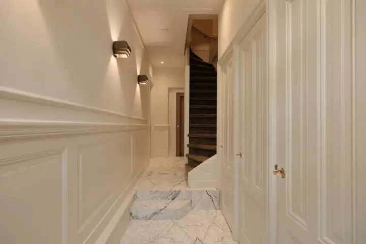
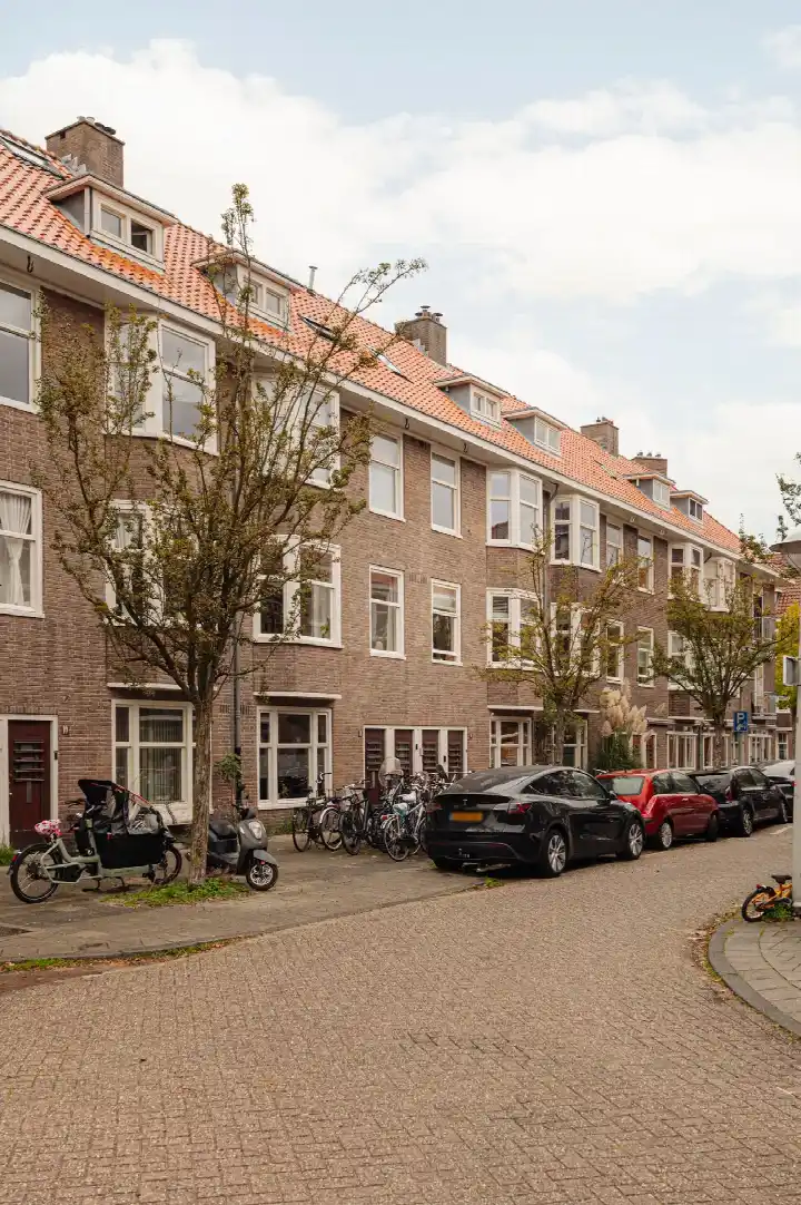
This apartment on Stolwijkstraat 23-1 sits in the Aalsmeerwegbuurt-West neighbourhood of Amsterdam, a part of the Hoofddorppleinbuurt district. The home dates from 1929 and was offered for sale at €1,150,000. This listing did not state the energy label. The asking price sat 71% above the neighbourhood average last known asking price of €673,107, which put it on the high side compared with other apartments in Amsterdam. This home has not been online since 15 September 2026.
The home itself
The agent provided no details on the layout, rooms, or installations of this apartment. The BAG registration records a living area of 63 m², which worked out at €18,254 per m². The home was built in 1929.
Aalsmeerwegbuurt-West
Residents across the municipality of Amsterdam give their living environment an average score of 7.35, based on 252 reviews. One resident describes a "very pleasant, quiet neighbourhood with lots of green and wonderful trees that offer cooling and relaxation", adding that it is "quiet and dark at night" and well reachable by metro 54. Another calls it a "quiet, peaceful, relaxed, green, social and a nice mix of people". The neighbourhood has 2,540 inhabitants, and 52% of households are single-person. For more context, see the Aalsmeerwegbuurt-West neighbourhood.
Amenities and transport
Groceries are just around the corner at Albert Heijn and Dirk. The nearest primary school, Oecumenische basisschool Nautilus, is a ten-minute walk away, and the nearest GP, Huisartsenpraktijk Delflandplein, is a couple of streets away. The tram stop Hoofddorpplein is on your doorstep with lines 2, 15, 62 and N88. Amsterdam Lelylaan station is a ten-minute walk. The municipality of Amsterdam offers all this and more, as described on the municipality of Amsterdam.
WOZ and address data
No WOZ value is stated for this home. The address-level risk data indicates road traffic noise at 51 dB Lden, above the noise standard, and aircraft noise at 50 dB Lden, also above the standard; railway noise at 38 dB Lden stays below it. The foundation risk indication is medium, as the building dates from before 1970 and the postcode area is a KCAF attention area. Pluvial flooding risk is medium, current flood risk is low, and heat stress is medium now and elevated by 2050. These are area-level indications, not an inspection of this specific home.
Source
When this home was still on the market, it was offered only via ME Makelaars B.V.
This summary was generated with AI and may contain errors. Always verify the details with the provider.
Features
Details of this home
Transfer
Price

Construction
The WOZ value is set annually by the municipality with 1 January as its reference date, and therefore lags the market by about a year. It is an estimated market value, not a sale price.
Frequently asked questions
About Stolwijkstraat 23-1, Amsterdam
What did the asking price of €1,150,000 mean for this apartment?
The asking price was €1,150,000. According to the neighbourhood housing market data, this was 71% above the average asking price of €673,107 in the Aalsmeerwegbuurt-West neighbourhood. The average price per m² in the neighbourhood was €9,412, while this home worked out at €18,254 per m² based on the BAG living area of 63 m².
What is the living area of this apartment?
The BAG registration records a living area of 63 m² for this apartment. The agent did not provide any further details on the layout, number of rooms, or installations. The home was built in 1929.
Is there a WOZ value stated for this home?
No WOZ value is stated for this home. As a result, there was no comparison available between the asking price and the WOZ value, nor any historical development of the WOZ value.
What are the noise levels around this address?
The address-level risk data indicates road traffic noise at 51 dB Lden, which is above the noise standard, and aircraft noise at 50 dB Lden, also above the standard. Railway noise is at 38 dB Lden, which stays below the standard. These are area-level indications based on public data, not measurements at this specific home.
What amenities are within walking distance?
Albert Heijn is at 219 metres and Dirk at 261 metres, so groceries are just around the corner. The nearest primary school, Oecumenische basisschool Nautilus, is at 502 metres, and the GP Huisartsenpraktijk Delflandplein is at 530 metres. The tram stop Hoofddorpplein is at 90 metres with lines 2, 15, 62 and N88.
What is the Aalsmeerwegbuurt-West neighbourhood like?
Residents across the municipality of Amsterdam score their living environment 7.35 out of 10 on average. One resident describes a quiet, green neighbourhood with trees that offer cooling and relaxation, while another mentions a peaceful, social mix of people. The neighbourhood has 2,540 inhabitants, with 52% single-person households.
Why was there no energy label in this listing?
The agent had not published this field. The address itself is complete, so the location and neighbourhood data are accurate, but the energy label is missing from the information provided.
What is the foundation risk for this home?
The foundation risk indication is medium for this address. This is because the building dates from before 1970, specifically 1929, and the postcode area is a KCAF attention area where 100% of properties were built before 1970. This is an area-level indication, not an inspection of this specific home.
How far is the nearest train station?
Amsterdam Lelylaan station is at 1,270 metres from this address, which is about a ten-minute walk. The nearest tram stop, Hoofddorpplein, is at 90 metres with lines 2, 15, 62 and N88. The nearest bus stop, Aalsmeerplein, is at 451 metres with line 62.
What climate risks apply to this address?
The climate risk data indicates a medium risk of pluvial flooding during heavy rain, while the current flood risk is low and remains low by 2050. Heat stress is currently medium and is expected to be elevated by 2050. These are area-level indications from the Klimaateffectatlas, not an assessment of this specific property.