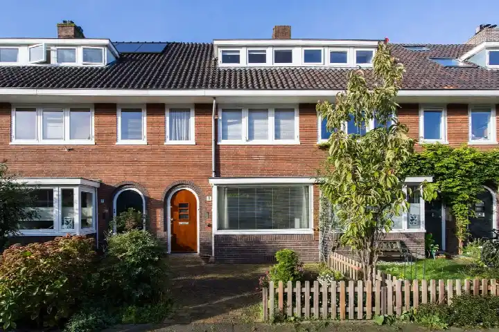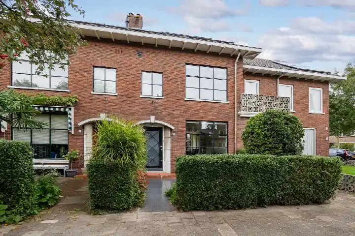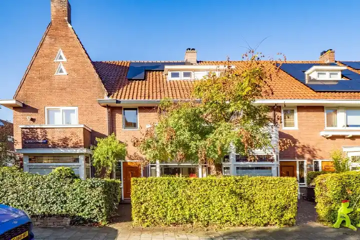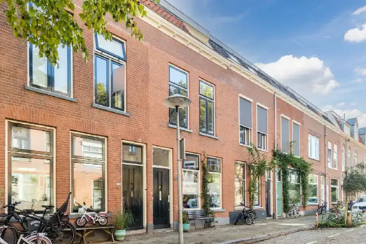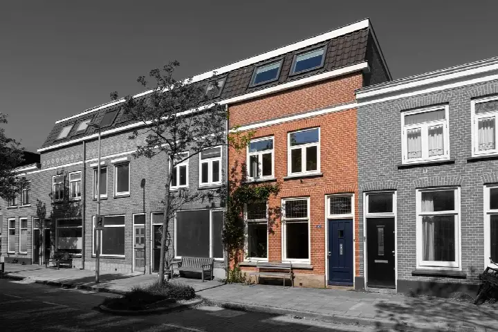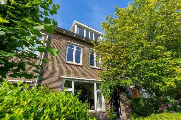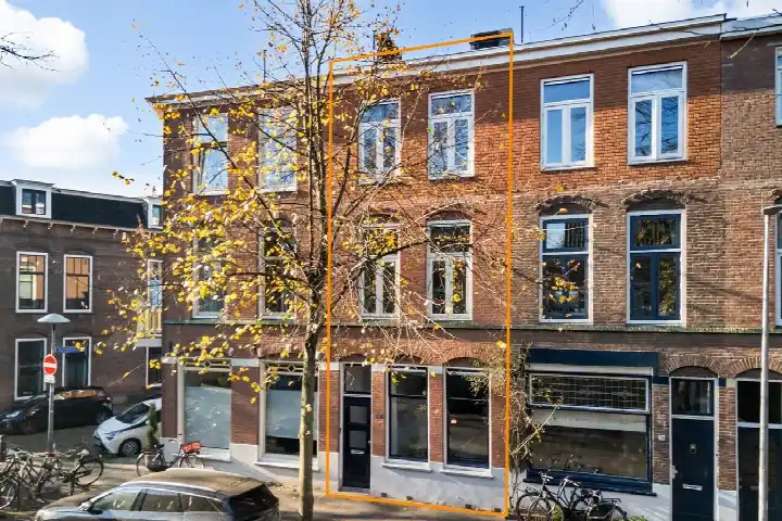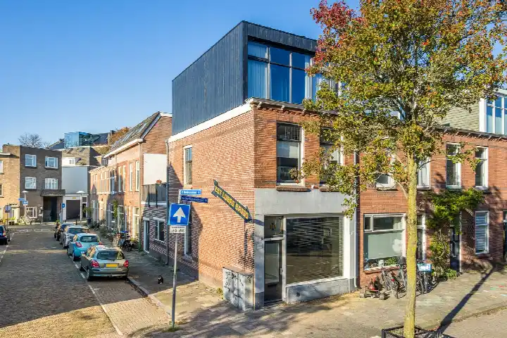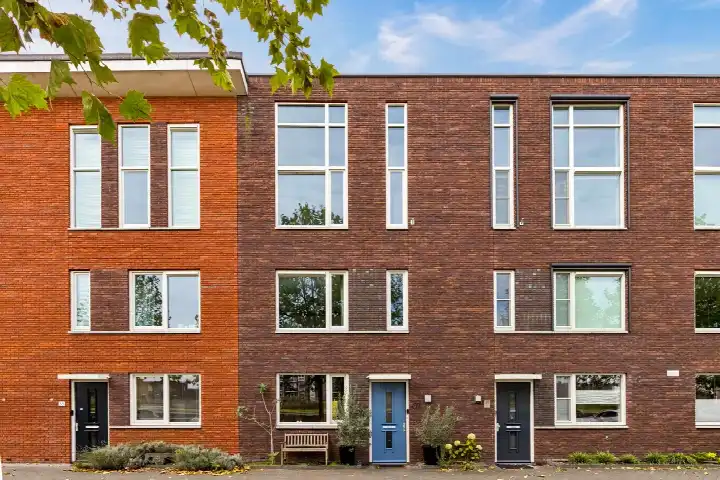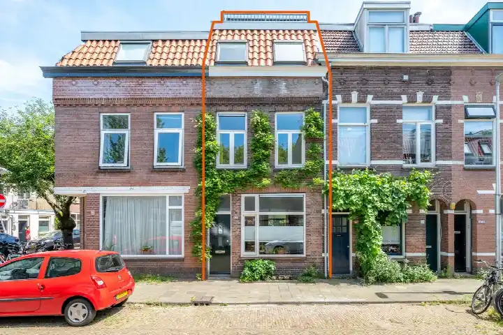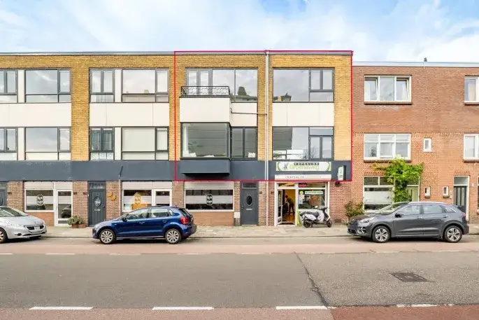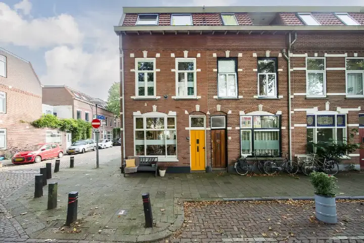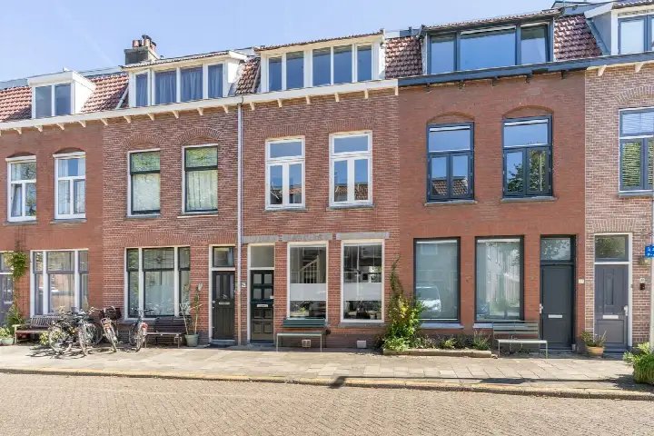





A 1930s terraced house in Oog in Al
This 1932 terraced house sits in Oog in Al, a pre-war neighbourhood in the west of Utrecht where two-thirds of the homes were built before 1945. The last known asking price of €725,000 was keen compared with the neighbourhood average asking price of €840,750, a difference of 14 percent. With 89 percent of homes in the area being owner-occupied, it is a settled part of town. For context, [terraced houses in Utrecht]( /koopwoningen/utrecht/tussenwoningen/ ) are a common sight across the municipality. This home has not been online since 28 September 2026.
Inside the home
The agent described this as a five-room family home spread over three floors, with four bedrooms and one bathroom. The living area was listed at 113 m² by the agent, while the BAG registration records 108 m²; the plot was 103 m² in both. There is a rear garden of 31 m² facing the southwest, accessible via the back alley, plus a roof terrace. The home had roof insulation and double glazing, a central heating boiler, and was offered in full ownership. The energy label is C.
Life in Oog in Al
Residents across the district of West give their surroundings an average score of 7.37, based on eleven reviews. One resident says: "Cosy, student-like, park on the doorstep, where people sit when the weather is nice. Pub in the neighbourhood, shopping centre within walking distance and Kanaalstraat nearby." Another notes: "Especially great that there are so many nice shops in the area. The walks to the Muntkade and Park Oog en Al also often make my day." A third describes it as "a reasonably quiet neighbourhood" but adds that "there is absolutely no social contact." The district counts roughly 4,100 residents, with an average household size of 2.7. [The Oog in Al neighbourhood]( /buurt/oog-in-al-utrecht/ ) itself is part of this wider district.
Amenities and getting around
Daily errands are well covered. The Albert Heijn is just around the corner, with a SPAR express a couple of streets away. Two primary schools, Johan de Witt and KBS St. Dominicus, are on your doorstep. The pharmacy, Apotheek Oog in Al, is just around the corner, while the nearest GP practice, Gezondheidscentrum Lombok, is a ten-minute walk. Bus line 5 stops at Den Hommel and Beethovenlaan, both just around the corner. Utrecht Centraal station is a ten-minute walk away. [The municipality of Utrecht]( /gemeente/utrecht/ ) runs the local services.
WOZ and address data
No WOZ value is available for this home. The address-level risk data indicates road traffic noise at 55 dB Lden, above the noise standard, while rail and aircraft noise stay below their standards. The foundation risk indication is elevated, based on the 1932 construction on clay soil, with the Klimaateffectatlas noting that 1 percent of homes in this postcode area have an elevated pile-rot risk. These are area-level indications, not an inspection of this specific home. Pluvial flooding risk is low, current flood risk is elevated, and heat stress is expected to rise from low to medium by 2050.
Source
When this home was still on the market, it was offered via multiple channels, including Sijmons-Dolata on Funda. The listing had been active since 4 September 2026.
This summary was generated with AI and may contain errors. Always verify the details with the provider.
Features
Details of this home
Transfer
Price
Energy
 Save up to € 400 on your energy billCompare now
Areas and volume
 Insure your home and belongingsGet insured
Layout
Construction
Outdoor space
Frequently asked questions
About Händelstraat 36, Utrecht
How did the asking price compare with other homes in Oog in Al?
The asking price of €725,000 was 14 percent below the neighbourhood average asking price of €840,750, which the data described as keen. The average asking price per m² in the neighbourhood was €7,467, while this home was listed at €6,416 per m² based on the agent's floor area. Six homes were at the time for sale in the neighbourhood, with prices ranging from €715,000 to €945,000.
What is the layout of this terraced house?
According to the agent, this was a five-room family home spread over three floors, with four bedrooms and one bathroom. The living area was listed at 113 m² by the agent, while the BAG registration records 108 m². The plot measures 103 m². There is a rear garden of 31 m² facing the southwest, accessible via the back alley, and a roof terrace.
What was the energy label and what did it mean for costs?
The home has an energy label C. The agent also noted that the home had roof insulation and double glazing, which help keep the home warm. The central heating boiler provides the heating.
What is the foundation risk for this home?
The foundation risk indication for this address is elevated. This is based on the home being built in 1932 on clay soil, where wooden piles or a shallow foundation may have been used. The Klimaateffectatlas notes that 1 percent of homes in this postcode area have an elevated pile-rot risk. This is an area-level indication, not an inspection of this specific home.
What shops and schools are nearby?
The Albert Heijn supermarket is just around the corner at 245 metres, with a SPAR express at 484 metres. Two primary schools are on your doorstep: Johan de Witt at 57 metres and KBS St. Dominicus at 176 metres. The pharmacy, Apotheek Oog in Al, is at 202 metres, and the nearest GP practice is Gezondheidscentrum Lombok at about a kilometre away.
How is the public transport in this area?
Bus line 5 stops at Utrecht, Den Hommel at 161 metres and Utrecht, Beethovenlaan at 189 metres, both just around the corner. Utrecht Centraal train station is at 1.67 kilometres, roughly a ten-minute walk. This gives you a direct connection to the national rail network without needing to change.
What do residents say about living in this district?
Residents across the district of West give their surroundings an average score of 7.37, based on eleven reviews. One resident praises the "park on the doorstep" and the shopping centre within walking distance. Another highlights the many nice shops and the walks to the Muntkade and Park Oog en Al. A third describes it as reasonably quiet but notes there is little social contact.
What is the noise situation at this address?
The address-level risk data indicates road traffic noise at 55 dB Lden, which is above the noise standard. Rail noise is measured at 36 dB Lden and aircraft noise at 42 dB Lden, both below their respective standards. These are area-level indications based on public data, not measurements taken at this specific home.
What is the flood risk for this property?
The current flood risk for this address is elevated, while the risk for 2050 is low. Pluvial flooding, which occurs when heavy rain overwhelms drainage, is rated low. Heat stress is currently low but is expected to become medium by 2050. These are area-level indications from the Klimaateffectatlas, not an assessment of this specific home.
How old is this home and what does that mean?
The home was built in 1932, making it part of the pre-war housing stock that dominates Oog in Al, where 66.7 percent of homes date from before 1945. The home had an energy label C, and the agent noted roof insulation and double glazing. The foundation risk indication is elevated, which is common for homes of this era built on clay soil.