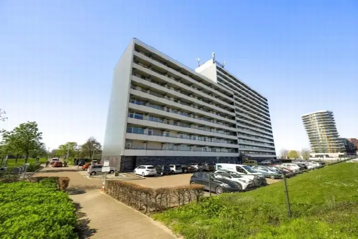
A modern apartment in the heart of Roermond
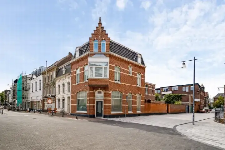
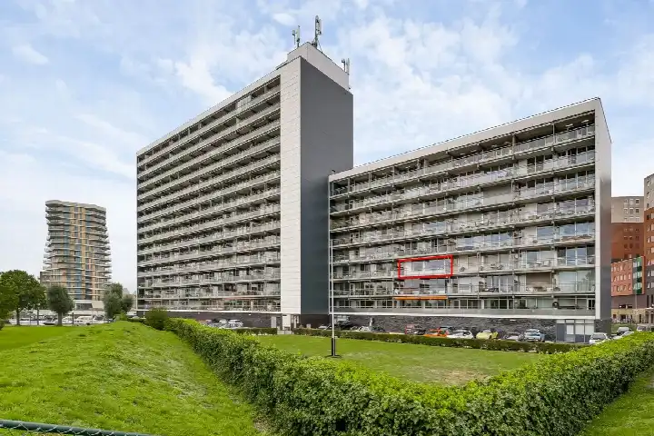
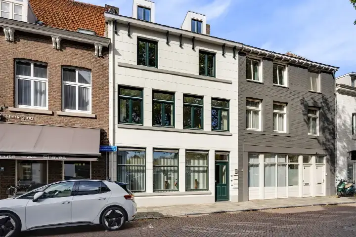
This apartment on Achter de Steenen Trappen 18 sits in the middle of Roermond's Binnenstad, a setting that puts the city's daily rhythm right on your doorstep. Built in 2010, the home combines a contemporary build with the convenience of living in the centre. With an asking price of €290,000, the price is keen compared with the neighbourhood average asking price of €385,910. For context, the wider market in Roermond shows a range of options, including apartments in Roermond at various price points.
Inside the home
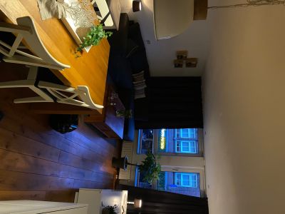
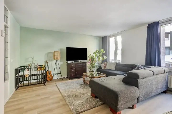
The apartment spans one floor and includes three rooms, two bedrooms and one bathroom. The living area is listed at 87 m² by the agent, while the BAG registration records 84 m². The home comes with double glazing and wall insulation, and heating is provided by a central heating boiler with a heat recovery installation. There is a parking garage, and the property is offered in full ownership. A homeowners' association fee of €185.25 per month applies.
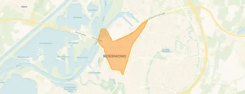
The Binnenstad neighbourhood
Living in the Binnenstad neighbourhood means being part of a compact urban area with around 6,100 residents. It is a place where many households are single-person, and the age mix skews towards adults, with a quarter of residents aged 65 or over. Residents across the municipality of Roermond give their living environment an average score of 7.91, based on twenty reviews. One resident describes it as a "top location", quietly situated in nature on a dead-end road, with good accessibility to the city and all amenities. Another notes it is a quiet neighbourhood with lots of greenery, though they miss benches and picnic spots. A third says it is a cosy neighbourhood with lovely people.
Amenities and transport
Daily errands are well covered here. The Jumbo supermarket is on your doorstep, with Ekoplaza just around the corner and Albert Heijn a couple of streets away. Basisschool De Steenen Brug is a couple of streets away, and Openbare Basisschool aan de Roer is a ten-minute walk. The nearest GP, Huisartsen Aan de Singel, Praktijk Romeijnders, is a couple of streets away, and Apotheek Roermond Bredeweg is just around the corner. For public transport, bus stop Roermond, WC Roercenter is on your doorstep with line 2, and Roermond train station is a ten-minute walk. The wider area falls under the municipality of Roermond, which offers further amenities.
WOZ and address data
No WOZ value is available for this property in the data. The address does carry some area-level risk indications from public data sources. The noise level from road traffic is 49 dB Lden, which is above the noise standard, while railway noise is 36 dB Lden, below the standard. The foundation risk indication is medium, based on clay soil that is sensitive to settlement, and the area is a KCAF attention zone where 75% of properties were built before 1970. Pluvial flooding at heavy rain is elevated, while flood risk is low both now and in 2050. Heat stress is medium now and elevated by 2050. These are indications at area level, not an inspection of this specific home.
Source
At the time of writing, the home is offered via multiple channels, including van Cromvoirt Makelaars.
This summary was generated with AI and may contain errors. Always verify the details with the provider.
Features
Details of this home
Transfer
Price

Areas and volume
Construction
Frequently asked questions
About Achter de Steenen Trappen 18, Roermond
How does the asking price compare with other homes in the neighbourhood?
The asking price of €290,000 is 25% below the average asking price in the Binnenstad neighbourhood, which stands at €385,910. The price per square metre is €3,333, based on the agent's listed living area of 87 m². This is about 10% below the neighbourhood average of €3,703 per m². The price verdict is described as keen relative to the local market.
What is the layout of this apartment?
The apartment has three rooms in total, including two bedrooms and one bathroom, all on a single floor. The agent lists the living area as 87 m², while the BAG registration records 84 m². The volume of the home is 359 m³. There is a parking garage available. The property is in full ownership, and a homeowners' association fee of €185.25 per month applies.
What is the energy label and what does it mean for costs?
The energy label is A, which is an efficient label. This means the home is likely to have relatively low energy costs compared with less efficient labels. The agent also notes that the home has double glazing and wall insulation, and heating is provided by a central heating boiler with a heat recovery installation. These features can contribute to keeping energy use down.
What are the noise levels around this address?
According to public area-level data, the noise from road traffic at this address is 49 dB Lden, which is above the Dutch noise standard. Railway noise is 36 dB Lden, which is below the standard. These figures are indications at area level, not measurements taken at the property itself. The data comes from the Atlas Leefomgeving and reflects the surrounding environment.
What is the foundation risk for this property?
The foundation risk indication for this address is medium. This is based on clay soil, which is sensitive to settlement, and the area is a KCAF attention zone where 75% of properties in the postcode area were built before 1970. Additionally, 1% of properties in the neighbourhood have an elevated risk of pile rot, according to the Klimaateffectatlas. These are area-level indications, not an inspection of this specific home.
What supermarkets are nearby?
There are several supermarkets within easy reach. The Jumbo is just 107 metres away, so on your doorstep. Ekoplaza is 344 metres away, a couple of streets from the home. Albert Heijn is 678 metres away, about a ten-minute walk. Aldi is 969 metres away, and Lidl is 1.8 kilometres away. In total, there are 15 supermarkets within five kilometres.
Which schools are close to this apartment?
Basisschool De Steenen Brug is 408 metres away, a couple of streets from the home. Openbare Basisschool aan de Roer is 878 metres away, about a ten-minute walk. PCB Willem de Zwijger is 1,047 metres away, and De Zonnewijzer is 1,214 metres away. There are also options for voortgezet speciaal onderwijs, such as de Wijnberg Onderwijsexpertise SO - VSO, at 1,394 metres.
How is the public transport in this area?
The nearest bus stop is Roermond, WC Roercenter, just 135 metres away, served by line 2. Another stop, Roermond, Minderbroederssingel, is 360 metres away, also with line 2. Roermond, Outlet Center/Stadskantoor is 468 metres away with lines 72, 73, 75, 77 and 672. The nearest train station is Roermond, at 542 metres, about a ten-minute walk.
What is the neighbourhood like according to residents?
Residents across the municipality of Roermond give their living environment an average score of 7.91, based on twenty reviews. One resident calls it a "top location", quietly situated in nature on a dead-end road, with good accessibility to the city and all amenities. Another says it is a quiet neighbourhood with lots of greenery, though they miss benches and picnic spots. A third describes it as a cosy neighbourhood with lovely people.
Is there a risk of flooding at this address?
The area-level indication for pluvial flooding, which is flooding from heavy rain, is elevated. The current flood risk from rivers or the sea is low, and it is expected to remain low in 2050. These are indications based on public data from the Klimaateffectatlas, and they apply to the area around the address, not to the property itself.