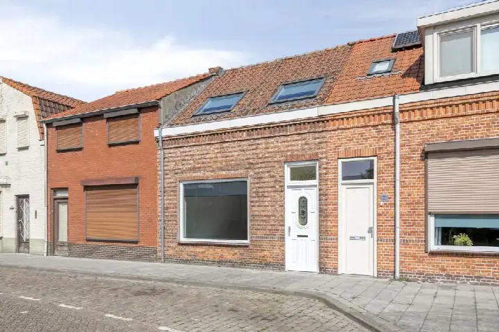
Graafjansdijk B 130
Kern Westdorpe, Terneuzen
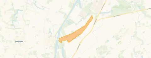 Area
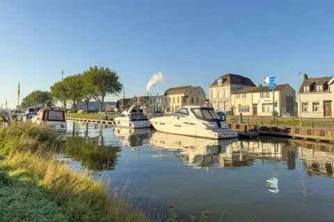
AreaA quiet spot in Westdorpe
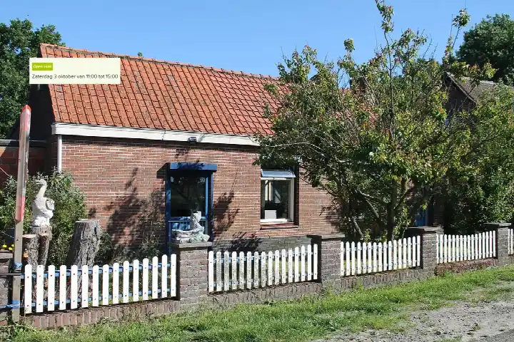
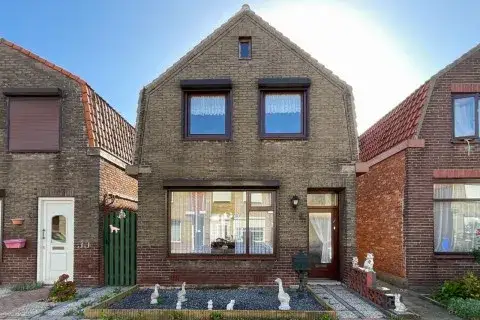
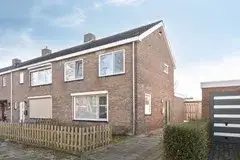
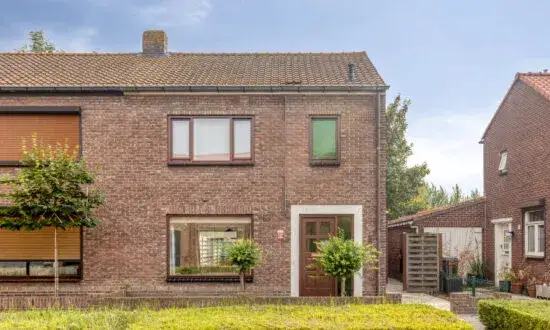
This detached house sits on Graafjansdijk B 130 in Kern Westdorpe, a village in the municipality of Terneuzen where life moves at its own pace. With 1885 residents, it is a place where people know each other, and the setting here is described as near public transport, near a school and with a free view. The asking price of €250,000 is 44% below the average asking price of €448,208 for detached houses in Terneuzen, which puts it on the low side of the local market.
The home itself
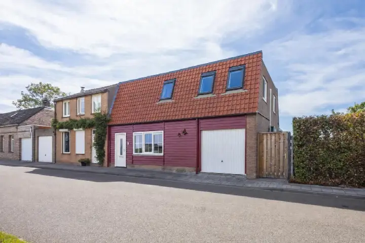
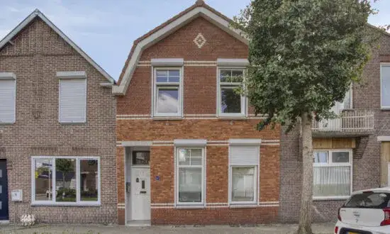
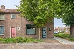
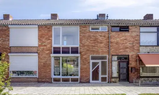
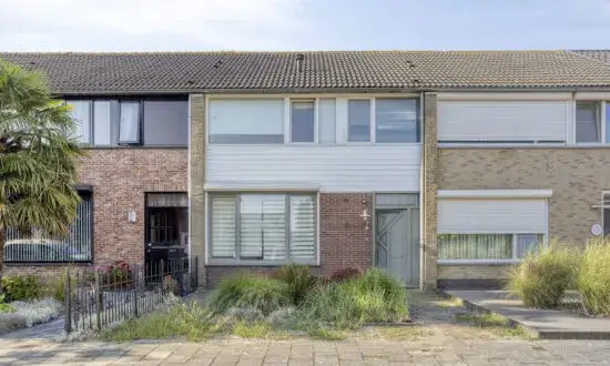
Built in 1935, this two-storey house offers three rooms, two bedrooms and one bathroom, with a living area of 107 m² according to the agent, while the BAG registration records 127 m². The plot measures 380 m². There is a side garden facing east, a detached brick garage, and the agent notes roof insulation and double glazing. Heating comes from a central heating boiler and a wood stove.
Life in Kern Westdorpe
Residents across the municipality of Terneuzen give their living environment an average score of 8.03, based on 21 reviews. One resident calls it a "perfect living environment", while another says: "Neighbours are there for each other. Safe living and lots of green. Unfortunately, no more supermarket in the village. A great loss. But there are two bakeries and a butcher's." A third resident notes the area is mainly 55+, and that there could be more greenery and accessible paths. The neighbourhood has a high share of single-family homes at 93%, and 75% of homes are owner-occupied. The municipality of Terneuzen covers a wide rural area, and this village sits within it.
Amenities and transport
The nearest supermarket, a SPAR, is a ten-minute walk away, with an Albert Heijn and a Lidl a couple of streets further. Basisschool De Kreeke is a ten-minute walk from the house. The GP practice is in Sas van Gent, about 3.4 km away, and the pharmacy is in Axel. Bus line 513 stops at Graaf Jansdijk just around the corner, and the nearest train station is 40.7 km away.
WOZ and address data
At the address level, the noise indication from road traffic is 57 dB Lden, above the noise standard, based on 2022 data. The foundation risk indication is medium, with the note that the house was built in 1935 on clay soil, possibly with wooden piles or a shallow foundation, and that 75% of properties in this postcode area were built before 1970. Pluvial flooding at heavy rain is indicated as medium, while flood risk is low now and in 2050. These are area-level indications from public data, not an inspection of this specific home.
Source
At the time of writing the home is offered via multiple channels, including Van Gassen Vastgoed.
This summary was generated with AI and may contain errors. Always verify the details with the provider.
Features
Details of this home
Transfer
Price
Energy
 Save up to € 400 on your energy billCompare now
Areas and volume
 Insure your home and belongingsGet insured
Layout
Construction
Outdoor space
Frequently asked questions
About Graafjansdijk B 130, Westdorpe
How does the asking price compare to other homes in the neighbourhood?
The asking price of €250,000 is 44% below the average asking price of €448,208 in Kern Westdorpe. The average price per m² in the neighbourhood is €2,467, while this home is listed at €2,336 per m² based on the agent's floor area. The living area of 107 m² is 45% smaller than the neighbourhood average of 196 m².
What is the layout of this house?
According to the agent, this detached house has three rooms, two bedrooms and one bathroom spread over two floors. The living area is listed as 107 m² by the agent, while the BAG registration records 127 m². The plot measures 380 m². There is a side garden facing east and a detached brick garage.
What is the energy label and what does it mean for costs?
The home has energy label F. This is a low label, so expect higher energy costs for heating and electricity compared to more efficient homes. The agent notes roof insulation and double glazing, and heating is provided by a central heating boiler and a wood stove. The energy label is a general indication, not a detailed assessment of the home's condition.
What are the noise levels around this address?
The noise indication from road traffic at this address is 57 dB Lden, which is above the noise standard, based on 2022 data. This is an area-level indication from public data, not a measurement taken at the property itself. The actual noise experience can vary depending on the time of day and the exact position of the house.
What is the foundation risk for this home?
The foundation risk indication for this address is medium. The note explains that the house was built in 1935 on clay soil, possibly with wooden piles or a shallow foundation, and that 75% of properties in this postcode area were built before 1970. This is an area-level indication from public data, not an inspection of this specific home.
What is the flood risk at this address?
The flood risk at this address is indicated as low, both currently and for 2050. Pluvial flooding, which occurs when heavy rain overwhelms drainage, is indicated as medium. These are area-level indications from the climate impact atlas, not a guarantee for this specific property.
Which supermarkets are nearby?
The nearest supermarket is a SPAR, about 3.5 km away. An Albert Heijn and a Lidl are slightly further, at around 3.7 km. Within a 5 km radius there are three supermarkets in total. The nearest bus stop, Graaf Jansdijk, is 354 metres away and is served by bus line 513.
What schools are close to this home?
The nearest primary school is Rooms Katholieke Basisschool De Kreeke, about 1.6 km away, with around 100 pupils. Basisschool De Statie is 3.9 km away. There are six schools within a 5 km radius. The nearest secondary school is 11.5 km away, and the nearest train station is 40.7 km from the house.
What do residents say about living in this area?
Residents across the municipality of Terneuzen give their living environment an average score of 8.03, based on 21 reviews. One resident calls it a "perfect living environment", while another mentions that neighbours are there for each other, with safe living and lots of green, though the loss of the village supermarket is noted. A third resident says the area is mainly 55+ and could use more greenery and accessible paths.
How old is this house and what does that mean?
The house was built in 1935, making it nearly 90 years old. The construction year is a fact about the home's history. The foundation risk indication for the area is medium, with a note that the house may have wooden piles or a shallow foundation due to the clay soil. This is an area-level indication, not an inspection of this specific home.