Westdam 22
Kern Sas van Gent, Terneuzen
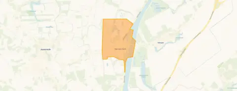 Area
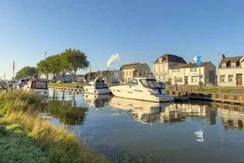
AreaA quiet spot in Sas van Gent
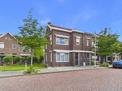
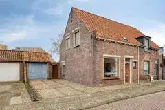
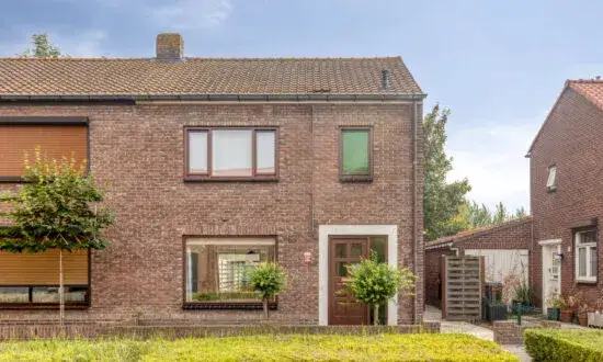
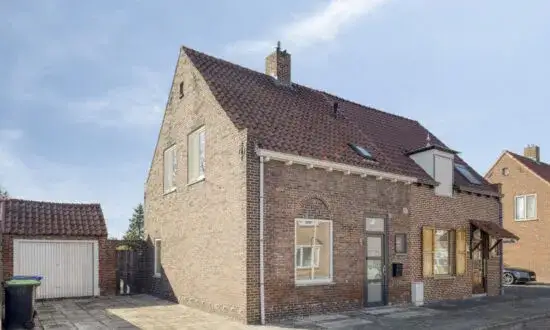
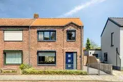
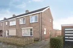
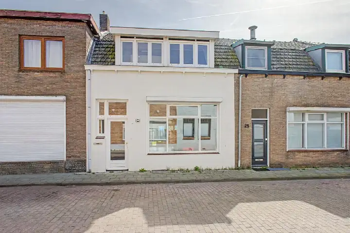
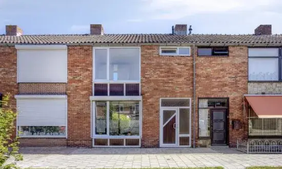
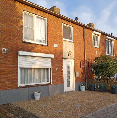
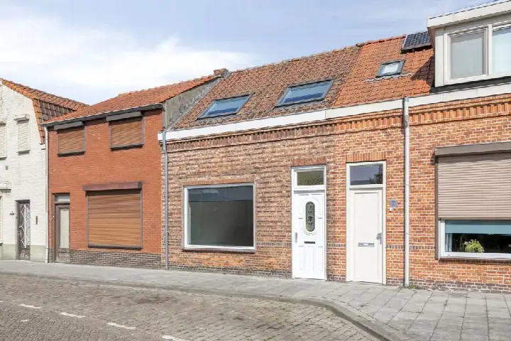
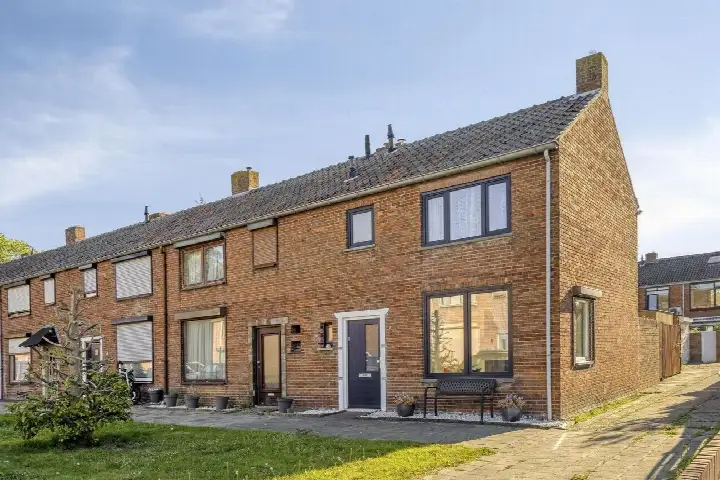
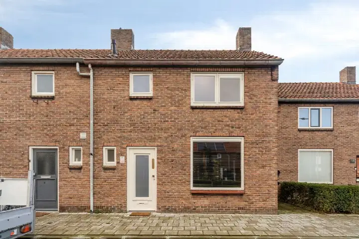
Westdam 22 sits on a quiet road in a residential area of Sas van Gent, a town in the municipality of Terneuzen. This semi-detached house from 1930 has a lived-in feel that comes with age. The asking price of €239,500 is 26% below the average asking price of €323,959 for homes in this neighbourhood, which puts it on the low side compared with the local market. For context, semi-detached houses in Terneuzen give you an idea of what is available nearby.
Inside the home
According to the agent, this is a two-storey family home with four rooms, three bedrooms and one bathroom. The living area is listed at 107 m² by the agent, while the BAG registration records 118 m². The plot is 176 m². It has a rear garden facing north, accessible via the back. The home is freehold, heated by a central heating boiler, and sits on a plot of 425 m³.
Life in Kern Sas van Gent
Kern Sas van Gent is a place where people seem to look out for each other. Residents across the municipality of Terneuzen give their living environment an average score of 8.03 out of 10, based on 21 reviews. One resident says: "Neighbours are there for each other. Safe living and lots of green. Unfortunately, no more supermarket in the village. A great loss. But there are two bakeries and a butcher's." Another notes: "There could be more greenery and accessible paths, given that this neighbourhood is mainly 55+." The area has around 3,555 inhabitants, and a large share of the housing stock consists of single-family homes. The neighbourhood itself is part of a wider picture that includes the municipality of Terneuzen.
Amenities and getting around
Daily errands are manageable from here. Lidl is just around the corner, and Albert Heijn is a couple of streets away. Basisschool De Statie is practically on your doorstep. The GP practice Huisartsenpraktijk Sas van Gent is a five-minute walk away. For public transport, the bus stop Sas van Gent, Suikerplein is a five-minute walk, with lines 511, 513 and 606. The nearest train station is 37.8 km away.
WOZ and address data
The WOZ value is not stated in the available data, so no comparison with the asking price can be made here. The address does carry some area-level indications from public risk data. The foundation risk is medium, with notes that the home was built in 1930 on clay soil, possibly with wooden piles or a shallow foundation, and that 92% of properties in this postcode area were built before 1970. Noise from road traffic is 46 dB Lden, from rail 26 dB Lden, and from industry 50 dB Lden, all below the relevant standards. Pluvial flooding at heavy rain is elevated, flood risk is medium now and in 2050, and heat stress is low now but medium by 2050. These are indications at area level, not an inspection of this specific home.
Source and agent
At the time of writing, the home is offered via multiple channels, including Kuub Makelaars Bevelanden NVM and Kuub Makelaars Zeeuws Vlaanderen, as well as on Funda.
This summary was generated with AI and may contain errors. Always verify the details with the provider.
Features
Details of this home
Transfer
Price

Areas and volume
 Insure your home and belongingsGet insured
Layout
Construction
Outdoor space
Frequently asked questions
About Westdam 22, Sas Van Gent
How does the asking price compare with other homes in the neighbourhood?
The asking price of €239,500 is 26% below the average asking price of €323,959 for homes in this neighbourhood. The median asking price here is €329,500, and prices range from €160,000 to €775,000. The average price per square metre in the neighbourhood is €3,021, while this home is listed at €2,238 per square metre based on the agent's floor area.
What is the layout of this semi-detached house?
According to the agent, this is a two-storey family home with four rooms, three bedrooms and one bathroom. The living area is listed at 107 m² by the agent, while the BAG registration records 118 m². The plot is 176 m². There is a rear garden facing north, accessible via the back. The home is freehold and heated by a central heating boiler.
What is the energy label and what does it mean for costs?
The energy label is F. This is a low label, so expect higher energy costs compared with more efficient homes. In the neighbourhood, 39% of the current sales listings have an energy label of A or better, while 27.1% have a label of D or lower. The label reflects the home's energy performance, not its structural condition.
What do residents say about living in this area?
Residents across the municipality of Terneuzen give their living environment an average score of 8.03 out of 10, based on 21 reviews. One resident says: "Neighbours are there for each other. Safe living and lots of green. Unfortunately, no more supermarket in the village. A great loss. But there are two bakeries and a butcher's." Another notes the area is mainly 55+ and could use more greenery and accessible paths.
What are the nearest shops and schools?
Lidl is 289 metres away and Albert Heijn is 314 metres away, so groceries are within a short walk. Basisschool De Statie is just 37 metres from the home. The GP practice Huisartsenpraktijk Sas van Gent is 459 metres away. The nearest pharmacy, Apotheek Axel, is 9.2 km away in Axel, and the nearest hospital, De Honte, is 10.2 km away in Terneuzen.
What public transport options are available?
The nearest bus stop is Sas van Gent, Suikerplein, 359 metres away, served by lines 511, 513 and 606. Another stop, Sas van Gent, Bolwerk, is 454 metres away with the same lines. The nearest train station is 37.8 km away, so rail connections require a longer journey.
What risk indications apply to this address?
The foundation risk indication is medium, based on the 1930 construction on clay soil and the fact that 92% of properties in this postcode area were built before 1970. Pluvial flooding at heavy rain is elevated, flood risk is medium now and in 2050, and heat stress is low now but medium by 2050. These are area-level indications from public data, not an inspection of this specific home.
How old is this home and what does that mean?
The home was built in 1930. This is a fact about the construction year, and no conclusions about the condition of the property should be drawn from it alone. The foundation risk indication for the area is medium, with notes about the clay soil and the pre-1970 construction period, but this is an area-level indication rather than an assessment of this particular home.